
Elevation 4,026 m Mountain range Sierra Nevada | Prominence 221 m Parent range Sierra Nevada | |
 | ||
Location Pennell Coast, Victoria Land, Antarctica Similar Mount Humphreys, Basin Mountain, Mount Tom, Bear Creek Spire, Mount Darwin | ||
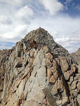
Mount Emerson (71°35′S 168°44′E) is a mountain 2,190 metres (7,200 ft) high, 5 nautical miles (9 km) east-southeast of Brewer Peak in the southern part of the DuBridge Range in the Admiralty Mountains of Victoria Land, Antarctica. The topographical feature was first mapped by the United States Geological Survey from surveys and U.S. Navy air photos, 1960–63, and was named by the Advisory Committee on Antarctic Names for George L. Emerson, a U.S. Navy Steelworker at McMurdo Station, Hut Point Peninsula, Ross Island, 1967.
Map of Mt Emerson, California 93514, USA
References
Mount Emerson Wikipedia(Text) CC BY-SA