Rahul Sharma (Editor)

Mount Elizabeth (Antarctica)

Updated on
Edit
Like
Comment
Share on FacebookTweet on TwitterShare on LinkedInShare on Reddit
Location
  
Antarctica

Prominence
  
1,657 m

Listing
  
Ultra-prominent peak

Elevation
  
4,480 m

Mountain range
  
Queen Alexandra Range

Mount Elizabeth (Antarctica)

Similar
  
Mount Markham, Mount Kirkpatrick, Mount Erebus

Mount Elizabeth is a massive ice-free mountain, 4,480 metres (14,700 ft) high, standing 6 nautical miles (11 km) south of Mount Anne in the Queen Alexandra Range, Antarctica. It was discovered by the British Antarctic Expedition, 1907–09, and named for Elizabeth Dawson-Lambton, a supporter of the expedition.

Contents

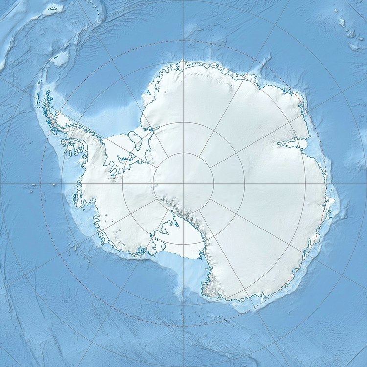
Map of Mount Elizabeth, Antarctica

Events

  • On 23 January 2013, C-GKBC (c/n:650), a Kenn Borek Air DHC-6 Twin Otter skiplane, with three Canadians on board, crashed onto Mount Elizabeth. The Emergency Locator Transmitter (ELT) was detected on the same day. The plane had been en route from the South Pole's Amundsen-Scott US station to Terra Nova Bay's Zucchelli Italian station, operating under the auspices of the Italian National Agency for New Technologies, Energy and Sustainable Economic Development (ENEA). The aircraft was found on 25 January 2013. It had impacted at the 13,000 foot level. The New Zealand helicopter rescue team which spotted the wreckage reported that the accident was not survivable. Canada has jurisdiction in investigating the crash. Recovery efforts were ended on 27 January, after having recovered the cockpit voice recorder (CVR), due to unsafe conditions.
  • References

    Mount Elizabeth (Antarctica) Wikipedia