Location Pensacola Mountains Elevation 1,970 m | Parent range Patuxent Range Mountain range Patuxent Range | |
 | ||
Mount Campleman is a flat-topped, projecting-type mountain in Antarctica, 1,970 metres (6,460 ft) high, along the north edge of Mackin Table, 3 nautical miles (6 km) west of Stout Spur, in the Patuxent Range, Pensacola Mountains. It was mapped by the United States Geological Survey from surveys and from U.S. Navy air photos, 1956–66, and named by the Advisory Committee on Antarctic Names for Richard Campleman of the U.S. Navy, the Petty Officer in charge of Palmer Station during the winter of 1967.
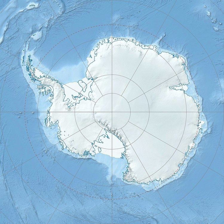
Map of Mount Campleman, Antarctica
References
Mount Campleman Wikipedia(Text) CC BY-SA
