Topo map NTS 092/H05 Elevation 1,907 m | Mountain type Intrusive Prominence 137 m | |
 | ||
Volcanic arc/belt Canadian Cascade ArcPemberton Volcanic Belt Similar Welch Peak, Coquihalla Mountain, Canadian Border Peak, American Border Peak, Lady Peak | ||
Mount Barr is a mountain in the Skagit Range of the Cascade Mountains of southern British Columbia, Canada, located on the northeast side of Wahleach Lake and just southwest of Hope. It is a ridge highpoint with an elevation of 1,907 m (6,257 ft).
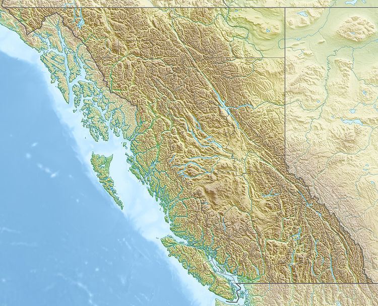
Map of Mount Barr, Fraser Valley D, BC, Canada
Mount Barr is one of the numerous magmatic features just north of the Chilliwack batholith. It is part of a large circular igneous intrusion that was placed along the Fraser Fault 16 to 21 million years ago. The intrusion is part of the Pemberton Volcanic Belt, an eroded volcanic belt that formed as a result of subduction of the Farallon Plate starting 29 million years ago.
References
Mount Barr Wikipedia(Text) CC BY-SA
