
Topo map USGS Adak C-2 Volcanic arc/belt Aleutian Arc Mountain range Aleutian Range Parent range Aleutian Range | Elevation 610 m | |
 | ||
Similar Bobrof Island, Pavlof Sister, Kookooligit Mountains, Mount Vsevidof, Isanotski Peaks | ||
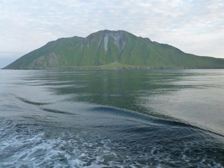
Mount Adagdak is a Pleistocene age stratovolcano on the northernmost extremity of Adak Island in the Aleutian Islands, Alaska. Located about 1,180 miles (1,900 km) from Anchorage, the mountain is located about 1.4 kilometers (0.9 mi) south of Cape Adagdak, for which it was named in 1948 by the United States Geological Survey.
Map of Mt Adagdak, Alaska, USA
John Hunter of Quicklaunch has twice proposed the use of Mount Adagdak's western slope as the emplacement site for a light-gas gun to launch small payloads into orbit for use at ISS.
References
Mount Adagdak Wikipedia(Text) CC BY-SA