
Country United States ZIP codes 50441, 50475 Elevation 338 m Local time Sunday 1:11 PM | Time zone CST (UTC-6) GNIS feature ID 0468413 Area 84.85 km² Population 498 (2010) | |
 | ||
Weather 11°C, Wind SE at 37 km/h, 56% Humidity | ||
Mott Township is one of sixteen townships in Franklin County, Iowa, United States. As of the 2010 census, its population was 498 and it contained 237 housing units.
Contents
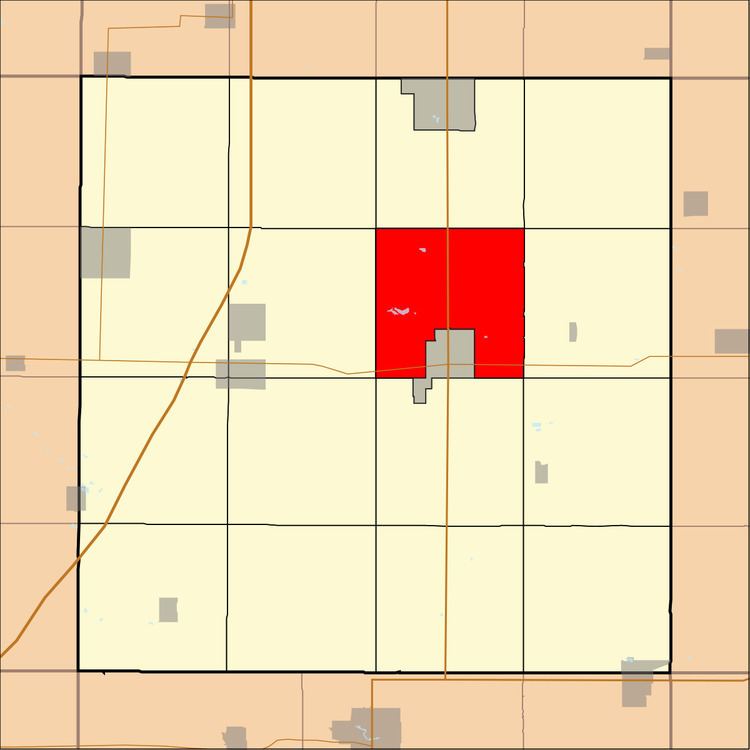
- Map of Mott IA USA
- History
- Geography
- Cemeteries
- Transportation
- School districts
- Political districts
- References
Map of Mott, IA, USA
History
Mott Township was organized in 1879. The Mott family were prominent landowners.
Geography
As of the 2010 census, Mott Township covered an area of 32.76 square miles (84.8 km2); of this, 32.57 square miles (84.4 km2) (99.42 percent) was land and 0.19 square miles (0.49 km2) (0.58 percent) was water.
Cemeteries
The township contains Trinity Cemetery.
Transportation
School districts
Political districts
References
Mott Township, Franklin County, Iowa Wikipedia(Text) CC BY-SA