
Population 642 (2011 Census) Civil parish Moston Dialling code 01244 | OS grid reference SJ401699 Local time Sunday 1:01 PM | |
 | ||
Unitary authority Weather 14°C, Wind SW at 37 km/h, 74% Humidity | ||
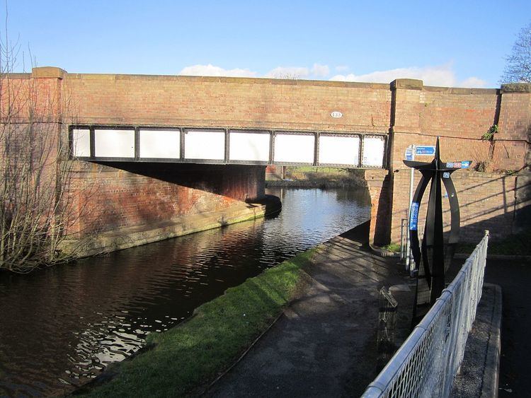
Moston is a small village and civil parish in the unitary authority of Cheshire West and Chester and the ceremonial county of Cheshire, England. It is situated in the north east of Chester, close to the Shropshire Union Canal and the A41 trunk road between Chester and Birkenhead. At the 2001 Census, Moston had a population of 680, falling to 642 at the 2011 Census.
Map of Moston, Chester, UK
Including the hamlet of The Dale, Moston was a township in St. Mary on the Hill Parish of the Broxton Hundred. The population was 14 in 1801, 14 in 1851, 51 in 1901 and 850 in 1951.
Moston combines with Upton-by-Chester and Bache ('The Bache') to form a joint parish council.
References
Moston, Cheshire West and Chester Wikipedia(Text) CC BY-SA