
Country United States GNIS feature ID 0766213 Area 138.3 km² Population 431 (2010) | FIPS code 29-50096 Elevation 243 m Local time Sunday 1:01 AM | |
 | ||
Weather 3°C, Wind E at 8 km/h, 69% Humidity | ||
Morrow Township is one of ten townships in Adair County, Missouri, United States. As of the 2010 census, its population was 431. It is named for John Morrow, one of Adair County's original judges.
Contents
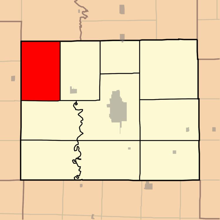
Map of Morrow Township, MO, USA
Geography
Morrow Township covers an area of 53.39 square miles (138.27 km2) and contains no incorporated settlements. It contains eight cemeteries: Branstutter, Broyles, Campbell, Cox, Daniels, Megrew, Morelock and Shibleys Point.
The streams of Pleasant Creek, Plum Branch and Turkey Creek run through this township.
References
Morrow Township, Adair County, Missouri Wikipedia(Text) CC BY-SA