
Country United States FIPS code 19-54165 Elevation 290 m Zip code 50657 Local time Sunday 12:32 AM | Time zone Central (CST) (UTC-6) GNIS feature ID 0459246 Area 26 ha Population 93 (2013) Area code 319 | |
 | ||
Weather -1°C, Wind E at 6 km/h, 89% Humidity | ||
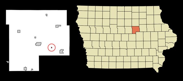
Morrison is a city in Grundy County, Iowa, United States. The population was 94 at the 2010 census. It is part of the Waterloo–Cedar Falls Metropolitan Statistical Area.
Contents
Map of Morrison, IA 50669, USA
Geography
Morrison is located at 42°20′36″N 92°40′28″W (42.343390, -92.674434).
According to the United States Census Bureau, the city has a total area of 0.10 square miles (0.26 km2), all of it land.
2010 census
As of the census of 2010, there were 94 people, 40 households, and 26 families residing in the city. The population density was 940.0 inhabitants per square mile (362.9/km2). There were 40 housing units at an average density of 400.0 per square mile (154.4/km2). The racial makeup of the city was 92.6% White, 2.1% African American, 1.1% Asian, and 4.3% from two or more races.
There were 40 households of which 30.0% had children under the age of 18 living with them, 60.0% were married couples living together, 5.0% had a male householder with no wife present, and 35.0% were non-families. 30.0% of all households were made up of individuals and 10% had someone living alone who was 65 years of age or older. The average household size was 2.35 and the average family size was 2.88.
The median age in the city was 40.5 years. 24.5% of residents were under the age of 18; 7.4% were between the ages of 18 and 24; 24.4% were from 25 to 44; 25.5% were from 45 to 64; and 18.1% were 65 years of age or older. The gender makeup of the city was 52.1% male and 47.9% female.
2000 census
As of the census of 2000, there were 97 people, 43 households, and 30 families residing in the city. The population density was 947.1 people per square mile (374.5/km²). There were 47 housing units at an average density of 458.9 per square mile (181.5/km²). The racial makeup of the city was 98.97% White, and 1.03% from two or more races.
There were 43 households out of which 23.3% had children under the age of 18 living with them, 55.8% were married couples living together, 4.7% had a female householder with no husband present, and 30.2% were non-families. 25.6% of all households were made up of individuals and 11.6% had someone living alone who was 65 years of age or older. The average household size was 2.26 and the average family size was 2.67.
In the city, the population was spread out with 18.6% under the age of 18, 6.2% from 18 to 24, 18.6% from 25 to 44, 34.0% from 45 to 64, and 22.7% who were 65 years of age or older. The median age was 48 years. For every 100 females there were 142.5 males. For every 100 females age 18 and over, there were 146.9 males.
The median income for a household in the city was $26,250, and the median income for a family was $31,875. Males had a median income of $21,500 versus $15,625 for females. The per capita income for the city was $12,538. There were no families and 11.6% of the population living below the poverty line, including no under eighteens and 16.0% of those over 64.