
Country United States County Sherman Time zone Pacific (UTC-8) Elevation 548 m Zip code 97039 Local time Saturday 7:54 PM | Incorporated 1899 FIPS code 41-50000 Area 127 ha Population 317 (2013) Area code 541 | |
 | ||
Weather 6°C, Wind W at 29 km/h, 77% Humidity | ||
Moro is a city in Sherman County, Oregon, United States. The population was 324 at the 2010 census. It is the county seat of Sherman County (the smallest county seat in Oregon). Moro was incorporated on February 17, 1899, by the Oregon Legislative Assembly.
Contents
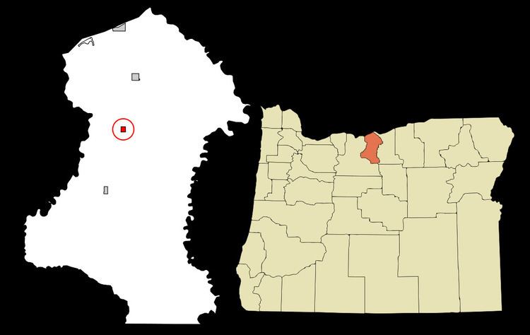
Map of Moro, OR 97039, USA
Geography and climate
According to the United States Census Bureau, the city has a total area of 0.49 square miles (1.27 km2), all of it land. Moro has a Mediterranean climate (Köppen Csb) with hot, dry summers with cool mornings, and chilly, wetter winters. Precipitation is very low due to the rain shadow of the Cascades and the valley location, being around 4 inches or 100 millimetres lower than even the driest areas in the Olympic ran shadow like Sequim. Snowfall averages 17 inches or 0.43 metres, but varies greatly between years: in January 1950 54.4 inches (1.38 m) fell and led to a total of 65 inches (1.65 m) for the full season, but in many years there is little snow.
2010 census
As of the census of 2010, there were 324 people, 149 households, and 86 families residing in the city. The population density was 661.2 inhabitants per square mile (255.3/km2). There were 163 housing units at an average density of 332.7 per square mile (128.5/km2). The racial makeup of the city was 92.6% White, 3.1% Native American, 2.8% from other races, and 1.5% from two or more races. Hispanic or Latino of any race were 4.0% of the population.
There were 149 households of which 21.5% had children under the age of 18 living with them, 47.7% were married couples living together, 8.1% had a female householder with no husband present, 2.0% had a male householder with no wife present, and 42.3% were non-families. 36.2% of all households were made up of individuals and 18.2% had someone living alone who was 65 years of age or older. The average household size was 2.17 and the average family size was 2.85.
The median age in the city was 48.1 years. 19.4% of residents were under the age of 18; 7.1% were between the ages of 18 and 24; 17.7% were from 25 to 44; 30.3% were from 45 to 64; and 25.6% were 65 years of age or older. The gender makeup of the city was 47.2% male and 52.8% female.
2000 census
As of the census of 2000, there were 337 people, 133 households, and 94 families residing in the city. The population density was 696.4 people per square mile (271.1/km²). There were 150 housing units at an average density of 310.0 per square mile (120.7/km²). The racial makeup of the city was 92.58% White, 1.19% African American, 1.19% Native American, 0.30% Asian, 3.26% from other races, and 1.48% from two or more races. Hispanic or Latino of any race were 5.34% of the population.
There were 133 households out of which 35.3% had children under the age of 18 living with them, 52.6% were married couples living together, 15.0% had a female householder with no husband present, and 29.3% were non-families. 27.1% of all households were made up of individuals and 16.5% had someone living alone who was 65 years of age or older. The average household size was 2.53 and the average family size was 3.10.
In the city, the population was spread out with 30.9% under the age of 18, 6.5% from 18 to 24, 22.3% from 25 to 44, 23.1% from 45 to 64, and 17.2% who were 65 years of age or older. The median age was 40 years. For every 100 females there were 97.1 males. For every 100 females age 18 and over, there were 94.2 males.
The median income for a household in the city was $35,625, and the median income for a family was $40,625. Males had a median income of $35,313 versus $15,417 for females. The per capita income for the city was $14,887. About 14.7% of families and 16.8% of the population were below the poverty line, including 19.0% of those under age 18 and 9.8% of those age 65 or over.