
Country Nigeria Time zone WAT (UTC+1) | State Kwara State | |
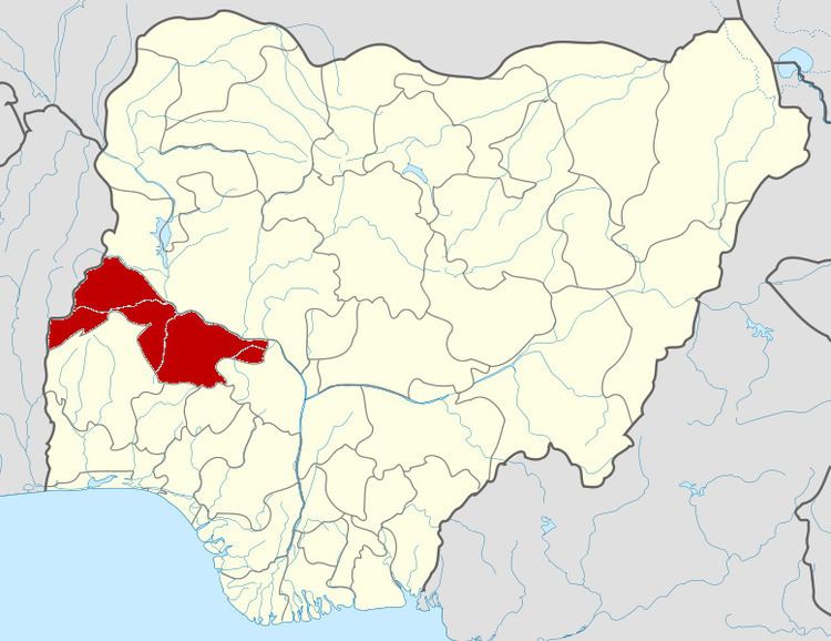 | ||
Moro is a Local Government Area in Kwara State, Nigeria. It has an area of 3,272 km² and a population of 108,792 at the 2006 census.
The postal code of the area is 241.
References
Moro, Kwara Wikipedia(Text) CC BY-SA