
Type Highway Route number(s) State Route 76 | Length 8.6 km (5.3 mi) | |
 | ||
East end Tonkin Highway (State Route 4), Morley | ||
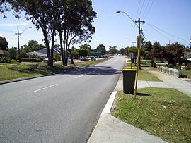
Morley Drive is a major east-west road in the inner northern suburbs of Perth, Western Australia, connecting the residential areas of Balcatta, Osborne Park, Tuart Hill, Nollamara, Yokine, Dianella, and Morley with major North-South arterial roads including Wanneroo Road, Alexander Drive, and Tonkin Highway. The road is part of State Route 76, which connects the coastal suburb of Trigg, Western Australia, with the Swan Valley in the east. Morley Drive runs through the following local government areas city of Stirling, City of Bayswater and City of Swan
Map of Morley Dr, Western Australia, Australia
Morley Drive intersects Alexander Drive and The Strand at a hamburger roundabout.
Morley Drive is controlled by Main Roads Western Australia for its entire length, and is designated as part of the Karrinyup-Morley Highway (H28).