Local time Sunday 10:05 AM | Region Kantō Population 64,644 (Sep 2015) | |
 | ||
Weather 13°C, Wind W at 14 km/h, 59% Humidity Points of interest Shikinosato Park, Moriyajoshi Park, Tatsuzawa Park, Keyakidai Park, Sakuranomori Park | ||
Moriya (守谷市, Moriya-shi) is a city located in Ibaraki Prefecture, in the northern Kantō region of Japan. As of September 2015, the city had an estimated population of 64,644 and a population density of 1810 persons per km². Its total area was 35.71 square kilometres (13.79 sq mi).
Contents
- Map of Moriya Ibaraki Prefecture Japan
- Geography
- Surrounding municipalities
- History
- Economy
- Education
- Railway
- Highway
- Sister city relations
- Local attractions
- Notable people from Moriya
- References
Map of Moriya, Ibaraki Prefecture, Japan
Geography
Moriya is located in southwestern Ibaraki Prefecture, bordering on Chiba Prefecture to the southwest. The city is surrounded by three rivers, the Kinugawa, Kokaigawa and the Tone River, one of the longest rivers in Japan. In terms of area, it is the smallest city in Ibaraki Prefecture. It is located approximately 35 kilometers from central Tokyo.
Surrounding municipalities
History
Moriya developed in the Kamakura period as a castle town ruled the Soma clan. During the Edo period Tokugawa shogunate, much of the area was ruled as part of Sakura Domain, followed by Sekiyado Domain. The town of Moriya was established within Kitasōma District on April 1, 1889 with the creation of the municipalities system. It was elevated to city status February 2, 2002.
Economy
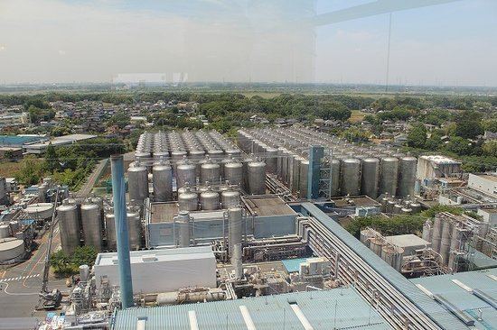
Moriya has numerous industrial parks, and its economy is highly industrialized. It is also increasingly a bedroom community for greater Tokyo.
Education
Moriya has nine elementary schools, four middle schools, and four high schools.
