
Founded February 9, 1820 Largest town Berkeley Springs Time zone Eastern: UTC-5/-4 Area 595.7 km² Population 17,498 (2013) Unemployment rate 5.9% (Apr 2015) | Named for Daniel Morgan Congressional district 2nd Website www.morgancountywv.gov County seat Bath Largest city Bath | |
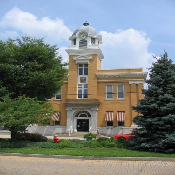 | ||
Cities Bath, Great Cacapon, Paw Paw Points of interest Berkeley Springs State Park, Samuel Taylor Suit Cottage, Museum of the Berkeley, George Washington's Bathtub, Cacapon Golf Course | ||
Morgan County is a county located in the U.S. state of West Virginia. As of the 2010 census, the population was 17,541. Its county seat is Berkeley Springs. The county was formed in 1820 from parts of Hampshire and Berkeley Counties and named in honor of General Daniel Morgan, prominent soldier of the American Revolutionary War.
Contents
- Map of Morgan County WV USA
- History
- Early European settlers
- 18th century Morgan County
- Geography
- Major highways
- Adjacent counties
- Rivers and streams
- 2000 census
- 2010 census
- Politics
- Towns
- Census designated places
- Magisterial districts
- Historic Places
- Morgan County links
- References
Map of Morgan County, WV, USA
Morgan County is the home of an important mine producing special sand for the glass industry.
History
Morgan County was created by an act of the Virginia General Assembly in March 1820 from parts of Berkeley and Hampshire counties. It was named in honor of General Daniel Morgan (1736–1802). He was born in Hunterdon County, New Jersey, and moved to Winchester, Virginia as a youth. He served as a wagoner in Braddock's Army during the campaign against the Native Americans in 1755. During the campaign, a British Lieutenant became angry with him and hit him with the flat of his sword. Morgan punched the Lieutenant, knocking him unconscious. Morgan was court-martialed for striking a British officer and was sentenced to 500 lashes. Morgan later joked that the drummer who counted out the lashes miscounted and he received only 499 lashes. For the rest of his life he claimed the British still owed him one.
Early European settlers
The first English settlers in present-day Morgan County arrived during the 1730s. Because most of these early pioneers were squatters, there is no record of their names. Historians claim that the first cabin in the county was built around 1745. As word of the county's warm springs spread eastward, Thomas Fairfax, 6th Lord Fairfax of Cameron decided that the county needed to be surveyed. In 1748, George Washington, then just 16 years old, was part of the survey party the surveyed the Eastern Panhandle region for Lord Fairfax. He later returned to Bath (Berkeley Springs) several times over the next several years with his half-brother, Lawrence, who was ill and hoped that the warm springs might improve his health. The springs, and their rumored medicinal benefits, attracted numerous Indians as well as Europeans to the area.
18th century Morgan County
As mentioned previously, George Washington visited present-day Berkeley Springs several times with his half-brother, Lawrence. When he vacationed in the area in 1767, he noted how busy the town had become. Lord Fairfax had built a summer home there and a "private bath" making the area a popular destination for Virginia's social elite. As the town continued to grow, the Virginia General Assembly decided to formally recognize it. In October 1776, the town was officially named Bath, in honor of England's spa city called Bath. The town's main north-south street was named Washington and the main east-west street was named Fairfax. Also, seven acres (28,000 m²) were set aside for "suffering humanity." When West Virginia gained statehood, that area became West Virginia's first state park.
Bath's population increased during and immediately after the American Revolutionary War as wounded soldiers and others came to the area believing that the warm springs had medicinal qualities. Bath gained a reputation as a somewhat wild town where eating, drinking, dancing, and gambling on the daily horse races were the order of the day.
Bath later became known as Berkeley Springs, primarily because the town's post office took that name (combining Governor Norborne Berkeley's last name with the warm springs found there) to avoid confusion with another post office, located in southeastern Virginia, which was already called Bath. Because the mail was sent to and from Berkeley Springs, that name slowly took precedence.
Geography
According to the U.S. Census Bureau, the county has a total area of 230 square miles (600 km2), of which 229 square miles (590 km2) is land and 0.5 square miles (1.3 km2) (0.2%) is water.
Major highways
Adjacent counties
Rivers and streams
2000 census
As of the census of 2000, there were 14,943 people, 6,145 households, and 4,344 families residing in the county. The population density was 65 people per square mile (25/km²). There were 8,076 housing units at an average density of 35 per square mile (14/km²). The racial makeup of the county was 98.30% White, 0.60% Black or African American, 0.17% Native American, 0.12% Asian, 0.01% Pacific Islander, 0.23% from other races, and 0.57% from two or more races. 0.83% of the population were Hispanic or Latino of any race.
There were 6,145 households out of which 28.70% had children under the age of 18 living with them, 57.90% were married couples living together, 8.20% had a female householder with no husband present, and 29.30% were non-families. 24.50% of all households were made up of individuals and 10.20% had someone living alone who was 65 years of age or older. The average household size was 2.40 and the average family size was 2.84.
The age distribution is 22.40% under the age of 18, 6.80% from 18 to 24, 27.30% from 25 to 44, 26.90% from 45 to 64, and 16.60% who were 65 years of age or older. The median age was 41 years. For every 100 females there were 96.60 males. For every 100 females age 18 and over, there were 95.00 males.
The median income for a household in the county was $35,016, and the median income for a family was $40,690. Males had a median income of $29,816 versus $22,307 for females. The per capita income for the county was $18,109. About 8.00% of families and 10.40% of the population were below the poverty line, including 11.60% of those under age 18 and 8.80% of those age 65 or over.
2010 census
As of the 2010 United States Census, there were 17,541 people, 7,303 households, and 5,015 families residing in the county. The population density was 76.6 inhabitants per square mile (29.6/km2). There were 9,753 housing units at an average density of 42.6 per square mile (16.4/km2). The racial makeup of the county was 97.3% white, 0.6% black or African American, 0.3% Asian, 0.3% American Indian, 0.2% from other races, and 1.3% from two or more races. Those of Hispanic or Latino origin made up 1.0% of the population. In terms of ancestry, 27.0% were German, 13.2% were Irish, 11.5% were American, and 10.6% were English.
Of the 7,303 households, 27.8% had children under the age of 18 living with them, 54.1% were married couples living together, 8.9% had a female householder with no husband present, 31.3% were non-families, and 25.7% of all households were made up of individuals. The average household size was 2.39 and the average family size was 2.84. The median age was 45.0 years.
The median income for a household in the county was $37,281 and the median income for a family was $49,974. Males had a median income of $39,372 versus $27,949 for females. The per capita income for the county was $20,732. About 11.9% of families and 15.8% of the population were below the poverty line, including 22.0% of those under age 18 and 10.6% of those age 65 or over.
Politics
Morgan County has historically been a stronghold for the Republican Party. Every Republican presidential nominee has won Morgan County since 1864, the first presidential election following West Virginia's statehood. The last Democratic presidential nominee to win Morgan County was Lewis Cass in 1848.
Towns
Census-designated places
Magisterial districts
Historic Places
The following are listed on the National Register of Historic Places: