
Population 1,028 (2011) Postal code 3933 | Postcode(s) 3933 Local time Sunday 12:06 AM | |
 | ||
Weather 19°C, Wind E at 18 km/h, 75% Humidity | ||
Moorooduc is a rural township in Melbourne, Victoria, Australia. Its local government area is the Shire of Mornington Peninsula.
Contents
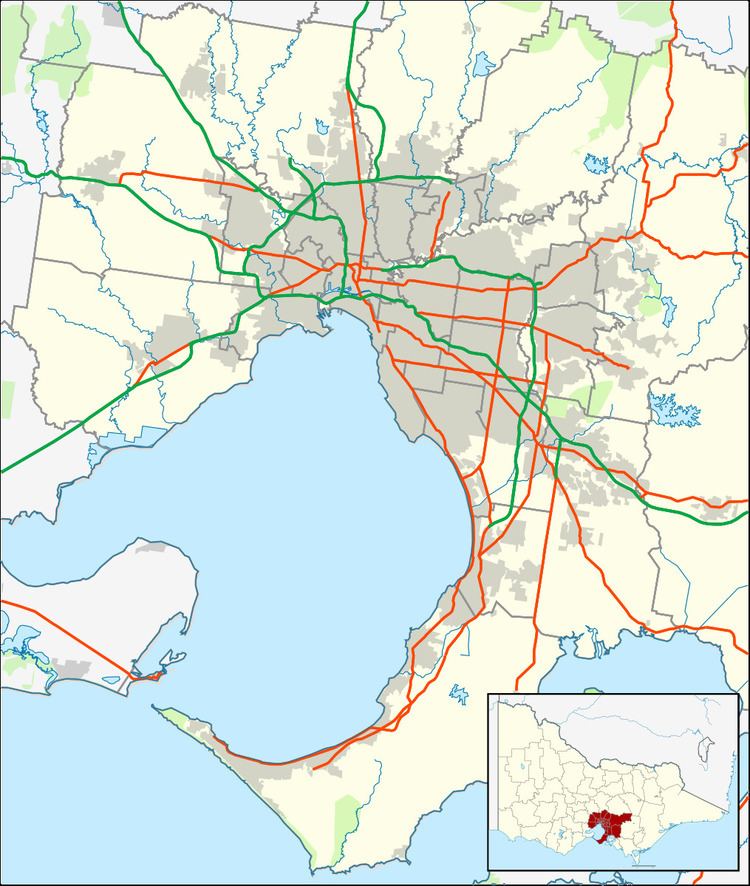
Map of Moorooduc VIC 3933, Australia
The Moorooduc Highway runs through the locality, being the main route between Melbourne and the Peninsula.
Moorooduc Post Office opened on 27 August 1890 and closed in 1980.
The Mornington Railway Preservation Society operates steam and diesel train services from Moorooduc Railway Station on weekends and public holidays.
A short walk from Moorooduc railway station is the Moorooduc Quarry Flora and Fauna Reserve.
Attractions
There are a number of different things to do in Moorooduc including;
· Peninsula lounge
· Antique Centre, Mornington-Tyabb Road.
· Mornington Tourist Railway
· Devilbend Golf Club
Education
Moorooduc Primary School (No. 2327) opened on 1 November 1880, on the current site located on Mornington-Tyabb Road. In 2006, the school celebrated 125 years.
Sport
Golfers play at the Devilbend Golf Club on Loders Road and Moorooduc Saddle Club is located on Derril Road.