
Population 6,618 (2011 census) | Postcode(s) 4870 Postal code 4870 | |
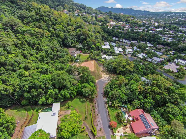 | ||
Mooroobool is a suburb of the Cairns Region, Queensland, Australia. It is located 5.4 kilometres (3.4 mi) west of the central business district of Cairns. At the 2006 census, Mooroobool had a population of 6,618.
Contents
Map of Mooroobool QLD 4870, Australia
Geography
Mooroobool has a mixture of residential dwellings which are mainly houses and commercial properties. Mooroobool has a Campbell’s Super IGA, a police beat and a Westpac bank. Nearby suburbs are Earlville, Kanimbla and Brinsmead.
History
Kingsford Street is named after Richard Ash Kingsford, who was mayor of Cairns from 1885-1886 and in 1889.
References
Mooroobool, Queensland Wikipedia(Text) CC BY-SA