
Postcode(s) 2665 County Cooper Elevation 158 m Local time Saturday 9:13 PM | LGA(s) Narrandera Shire State electorate(s) Cootamundra Postal code 2665 Federal division Division of Riverina | |
 | ||
Location 511 km (318 mi) SW of Sydney
503 km (313 mi) N of Melbourne
62 km (39 mi) E of Griffith
68 km (42 mi) N of Narrandera
10 km (6 mi) E of Barellan Weather 24°C, Wind E at 27 km/h, 54% Humidity | ||
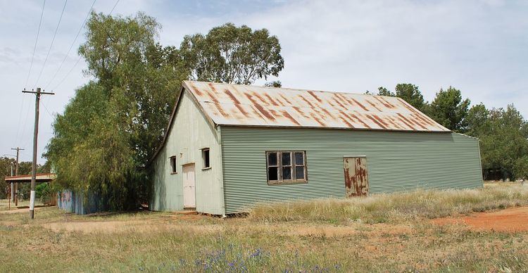
Moombooldool is a village community in the central north part of the Riverina. It is situated by road, about 9 kilometres east from Barellan and 12 kilometres west from Kamarah.
Map of Moombooldool NSW 2665, Australia
Moombooldool Post Office opened on 15 April 1912 and closed in 1982. The railway line opened in 1908. The station closed in 1975 however the line remains open for goods trains.
References
Moombooldool, New South Wales Wikipedia(Text) CC BY-SA