
Country United States Time zone Eastern (EST) (UTC-5) Elevation 261 m Population 4,050 (2013) Area code 419 | Village of Montpelier 1845 FIPS code 39-51772 Zip code 43543 Local time Saturday 2:06 AM | |
 | ||
Weather 2°C, Wind SW at 6 km/h, 93% Humidity Area 7.589 km² (7.537 km² Land / 5 ha Water) | ||
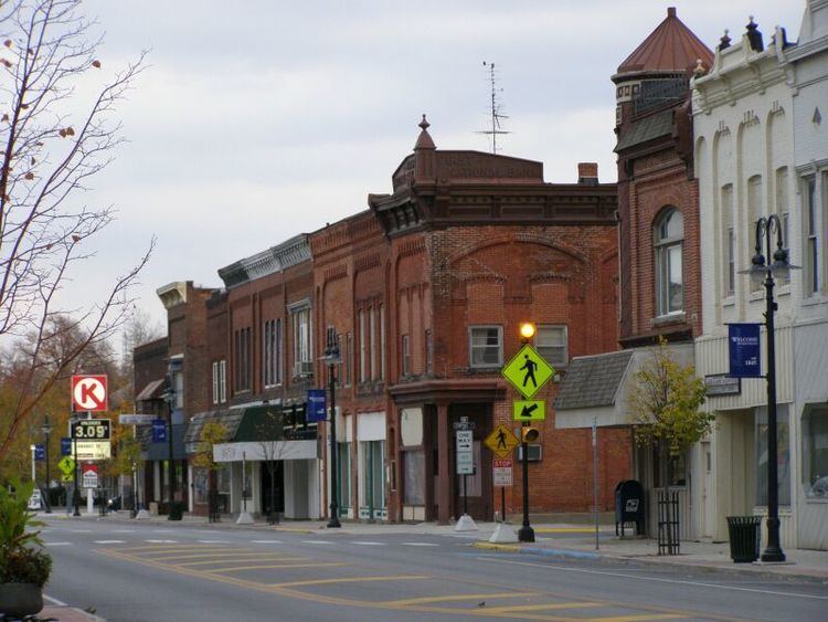
Montpelier is a village in Williams County, Ohio, United States. The population was 4,072 at the 2010 census.
Contents
- Map of Montpelier OH 43543 USA
- History
- Geography
- 2010 census
- 2000 census
- State highways
- Village government
- Education
- Water quality awards
- County fairgrounds
- Notable person
- References
Map of Montpelier, OH 43543, USA
History
Montpelier was platted in 1845. The village was named after Montpelier, Vermont. A post office has been in operation at Montpelier since 1846. Montpelier was incorporated as a village in 1875.
Geography
Montpelier is located at 41°34′59″N 84°36′15″W (41.582981, -84.604204).
According to the United States Census Bureau, the village has a total area of 2.93 square miles (7.59 km2), of which 2.91 square miles (7.54 km2) is land and 0.02 square miles (0.05 km2) is water.
2010 census
As of the census of 2010, there were 4,072 people, 1,649 households, and 1,055 families residing in the village. The population density was 1,399.3 inhabitants per square mile (540.3/km2). There were 1,843 housing units at an average density of 633.3 per square mile (244.5/km2). The racial makeup of the village was 96.2% White, 0.1% African American, 0.5% Native American, 1.4% Asian, 0.4% from other races, and 1.3% from two or more races. Hispanic or Latino of any race were 3.4% of the population.
There were 1,649 households of which 33.4% had children under the age of 18 living with them, 42.4% were married couples living together, 15.0% had a female householder with no husband present, 6.5% had a male householder with no wife present, and 36.0% were non-families. 30.7% of all households were made up of individuals and 12.4% had someone living alone who was 65 years of age or older. The average household size was 2.43 and the average family size was 3.00.
The median age in the village was 36.1 years. 26.9% of residents were under the age of 18; 8% were between the ages of 18 and 24; 26.2% were from 25 to 44; 24.5% were from 45 to 64; and 14.5% were 65 years of age or older. The gender makeup of the village was 47.5% male and 52.5% female.
2000 census
As of the census of 2000, there were 4,320 people, 1,751 households, and 1,131 families residing in the village. The population density was 1,601.0 people per square mile (617.8/km²). There were 1,866 housing units at an average density of 691.5 per square mile (266.8/km²). The racial makeup of the village was 96.62% White, 0.30% African American, 0.16% Native American, 1.48% Asian, 0.02% Pacific Islander, 0.65% from other races, and 0.76% from two or more races. Hispanic or Latino of any race were 1.53% of the population.
There were 1,751 households out of which 33.6% had children under the age of 18 living with them, 48.0% were married couples living together, 11.8% had a female householder with no husband present, and 35.4% were non-families. 30.2% of all households were made up of individuals and 15.1% had someone living alone who was 65 years of age or older. The average household size was 2.43 and the average family size was 2.99.
In the village, the population was spread out with 27.4% under the age of 18, 9.8% from 18 to 24, 27.6% from 25 to 44, 19.0% from 45 to 64, and 16.2% who were 65 years of age or older. The median age was 34 years. For every 100 females there were 90.2 males. For every 100 females age 18 and over, there were 86.2 males.
The median income for a household in the village was $31,678, and the median income for a family was $41,250. Males had a median income of $31,389 versus $21,508 for females. The per capita income for the village was $14,791. About 4.3% of families and 6.2% of the population were below the poverty line, including 5.2% of those under age 18 and 7.3% of those age 65 or over.
State highways
Village government
Montpelier is a Charter Village with a strong Manager/Village Council form of government. The Village Manager is Kevin Brooks (2016) and the Village Mayor is Steve Yagelski.
The Village of Montpelier also provides citizens with central services such as water, electric, and sewer. Montpelier is provided public safety services by a full-time police department and a full-time fire chief, who commands a volunteer fire staff.
Education
Montpelier is served by the Montpelier Exempted Village School District. Montpelier Junior/Senior High School and Montpelier Elementary School share the same campus, which is located on the village's south side. Their nickname is the Locomotives. They are a member of the Northwest Ohio Athletic League.
Water quality awards
In 2003, 2006, and 2007, and 2017 Montpelier won the Berkeley Springs International Water Tasting competition for its municipal water supply. Montpelier triumphed over cities as diverse as Sparwood, British Columbia and Rice Lake, Wisconsin.[1]
County fairgrounds
The Williams County Fairgrounds is located on Montpelier's east side. The Williams County Historical Museum is located on the fairgrounds.