
Country United States County Tippecanoe GNIS feature ID 439370 Zip code 47962 | State Indiana Township Shelby Elevation 211 m Local time Saturday 1:43 AM | |
 | ||
Weather 4°C, Wind NW at 13 km/h, 85% Humidity | ||
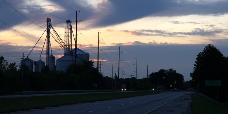
Montmorenci is an unincorporated census-designated place in Shelby Township, Tippecanoe County, Indiana. Older maps sometimes spell the name Montmorency or Montmorencie.
Contents
Map of Montmorenci, IN, USA
It is part of the Lafayette, Indiana Metropolitan Statistical Area.
History
An old variant name of the community was called Bringham's Grove.
A post office was established under the name Bringham's Grove in 1846, and was renamed to Montmorenci in 1853. It is still currently in operation.
Geography
Montmorenci is located at 40°28'28" North, 87°01'46" West (40.474444, -87.029444) in Shelby Township, at the intersection of U.S. Routes 52 and 231. It has an elevation of 699 feet.
Education
All public education is provided by the Benton Community School Corporation. Students attend Otterbein Elementary in grades K-6, then move on to Benton Central Jr./Sr. High School in grades 7-12.