
Airport type Public Location Lépaud, Creuse, France 17/35 1,900 Elevation 1,367 m | Serves Montluçon / Guéret Elevation AMSL 1,367 ft / 417 m Address 23170 Lépaud, France Phone +33 5 55 65 73 30 | |
 | ||
Operator CCI de Montluçon Gannat Similar Conseil General de la Creuse, Hertz ‑ Montlucon Downtown, Maelis Groupe Kéolis, Gare de Montluçon, Gueret (Lepaud) Airport | ||
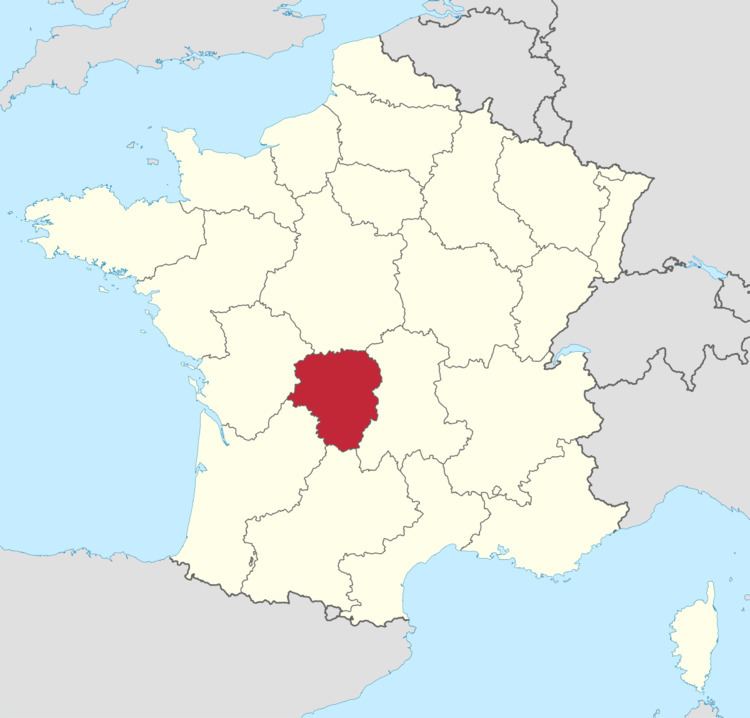
Montluçon – Guéret Airport (French: Aéroport de Montluçon - Guéret) (IATA: MCU, ICAO: LFBK) is an airport in Lépaud, a commune in the Creuse department of the Limousin region of France. The airport is located 22.5 km (14 mi) southwest of Montluçon in the Allier department. It is also 45 km (28 mi) east of Guéret in the Creuse department.
Facilities
The airport resides at an elevation of 1,367 feet (417 m) above mean sea level. It has one paved runway designated 17/35 with an asphalt surface measuring 1,900 by 45 metres (6,234 ft × 148 ft). It also has a parallel unpaved runway with a grass surface measuring 1,000 by 80 metres (3,281 ft × 262 ft).
References
Montluçon – Guéret Airport Wikipedia(Text) CC BY-SA