
Canton Henrichemont Local time Saturday 6:16 AM | Area 28.65 km² | |
 | ||
Intercommunality Hautes Terres en Haut Berry Weather 7°C, Wind SW at 21 km/h, 83% Humidity | ||
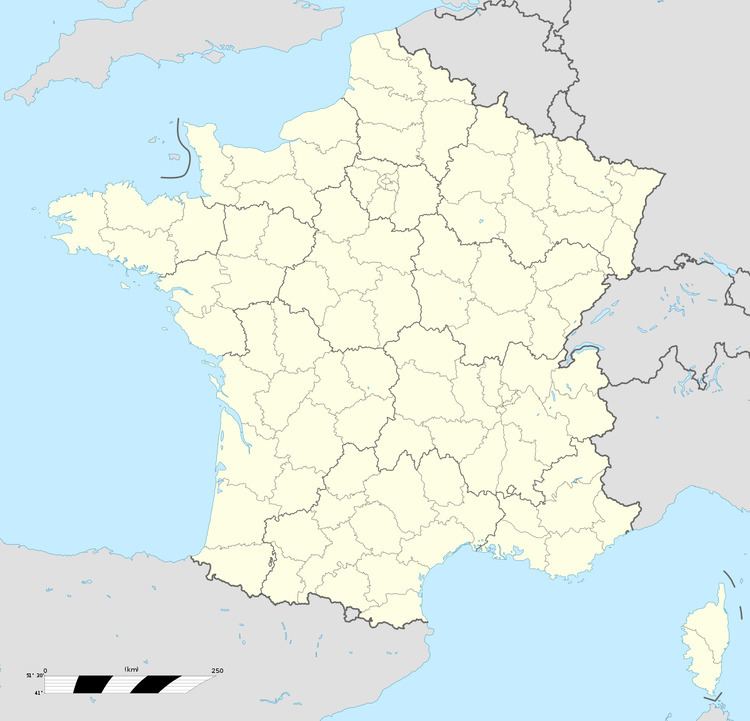
Montigny is a commune in the Cher department in the Centre region of France.
Contents
Map of 18250 Montigny, France
Geography
An area of forestry and farming comprising the village and four hamlets situated some 15 miles (24 km) northeast of Bourges, at the junction of the D955 with the D44, D59 and D93 roads.
Places of interest
References
Montigny, Cher Wikipedia(Text) CC BY-SA