
Length 29.2 mi (47.0 km) North end CR G8 in San Jose | South end US 101 in Gilroy | |
 | ||
Maintained by Cities of San Jose, Morgan Hill, San Martin, and Gilroy; county of Santa Clara Major
junctions SR 152 in Gilroy
SR 85 in San Jose
CR G10 in San Jose
CR G21 in San Jose Major cities San Jose, Gilroy, Morgan Hill | ||
Monterey Road is a surface street extending from Gilroy to San Jose in Santa Clara County, California.
Contents
Map of Monterey Hwy, California, USA
History
The road was established as a stage coach route circa 1856, and paralleled a railroad line built in the late 1860s. It was part of the main road connecting San Jose to Monterey, and incorporated parts of the historic route of El Camino Real connecting California's missions. The towns of Gilroy and Morgan Hill sprang up as coach stops along it. In one incident in July 1873, notorious highwayman Tiburcio Vásquez robbed Twenty-One Mile House, a hostel named for its location 21 miles from San Jose along the road, in what is now Morgan Hill.
The road became part of the state highway system in the early 1900s and, eventually, it became incorporated into U.S. Route 101 (US 101). By the 1970s, as an expressway with only three lanes (for both directions combined) and high volumes of traffic, it had so many traffic accidents that it became known as "blood alley".
In 1973, the section from Monterey Road's southern terminus to Cochrane Road in Morgan Hill was realigned to a 6-lane freeway to the east, and in the early 1980s, US 101 was realigned to a freeway to the east from Cochrane Road to County Route G10 (CR G10). These two realignments restored Monterey Road as a separate road again. Monterey Road continues to exist as a six-lane arterial road within San Jose and as a four-lane highway continuing to Gilroy, and is used as an alternative route to the freeway for commuters.
Monterey Road north of CR G10 was once part of State Route 82 (SR 82), a route that was once US 101 before US 101 was realigned to the Bayshore Highway (now the Bayshore Freeway) to the east in the 1940s. In 2013, a section of SR 82 was relinquished and given to the city of San Jose.
Route description
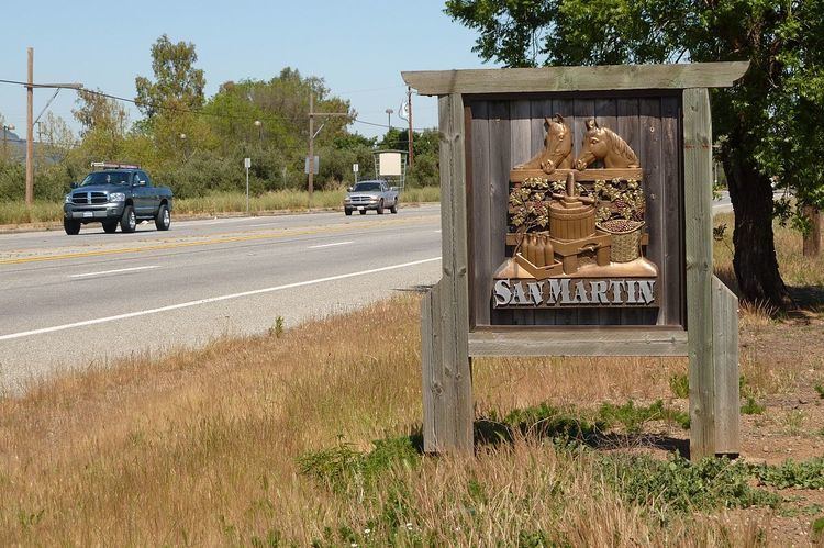
Monterey Road begins in the southern outskirts of Gilroy, routing parallel west of US 101. It runs through Downtown Gilroy and intersects with SR 152. The road then heads northwest through the towns of San Martin and Morgan Hill. Monterey Road north of Morgan Hill is an outdated and rugged road; it has little changed since US 101 was realigned. The road then heads into the suburbs of San Jose intersecting SR 85 with no direct access to SR 85. After intersecting County Route G10 (CR G10), Monterey Road then heads northwest away from US 101 towards Downtown San Jose. This section from CR G10 to its northern terminus was SR 82 until 2013 when a length of SR 82 was relinquished to the city of San Jose, intersecting CR G21 (Capitol Expressway). Shortly before entering Downtown San Jose, Monterey Road ends at CR G8 (Alma Avenue) and continues northwest as First Street.
Major intersections
The entire street is in Santa Clara County.