
Elevation 323 m (1,060 ft) Time zone CET (UTC+1) Area 12.7 km² Postal code 63020 | Demonym(s) Montegibertesi Dialing code 0734 Local time Saturday 12:56 AM Dialling code 0734 | |
 | ||
Weather 13°C, Wind SW at 10 km/h, 48% Humidity | ||
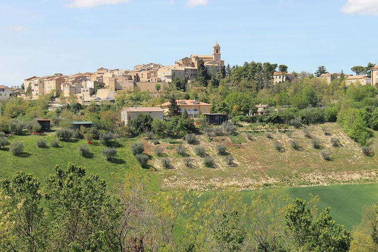
Monte Giberto is a comune (municipality) in the Province of Fermo in the Italian region Marche, located about 60 kilometres (37 mi) south of Ancona and about 30 kilometres (19 mi) north of Ascoli Piceno. As of 31 December 2004, it had a population of 865 and an area of 12.7 square kilometres (4.9 sq mi).
Map of 63846 Monte Giberto, Province of Fermo, Italy
Monte Giberto borders the following municipalities: Grottazzolina, Monte Vidon Combatte, Montottone, Petritoli, Ponzano di Fermo.
References
Monte Giberto Wikipedia(Text) CC BY-SA