Elevation 1,465 m | ||
 | ||
Similar Mount Roraima, Mount Ayanganna, Pico 31 de Março, Pico da Neblina, Imataka Mountains | ||
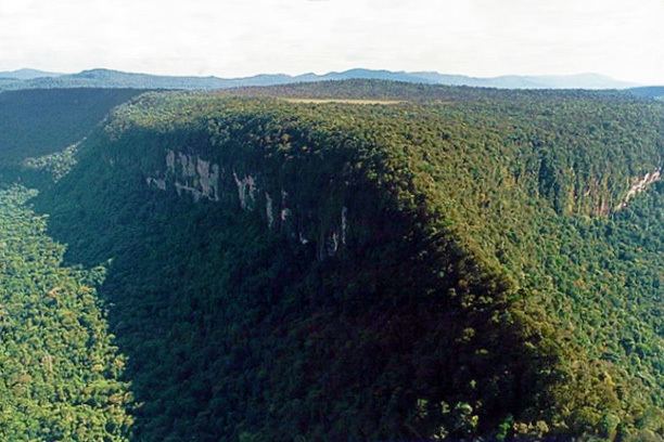
Monte Caburaí is a mountain located on the border between the South American countries of Brazil and Guyana standing at 1,465 metres (4,806 ft) above sea level. The source of the Uailã or Ailã river, located on the mountain, is the northernmost point of Brazil.
Map of Monte Cabura%C3%AD
References
Monte Caburaí Wikipedia(Text) CC BY-SA
