State Pará Time zone UTC -3 Local time Friday 8:14 PM | Region Northern Mesoregion Baixo Amazonas Area 18,153 km² | |
 | ||
Weather 26°C, Wind SE at 3 km/h, 91% Humidity | ||
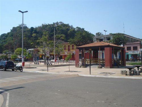
Monte Alegre, Pará is a municipality in the state of Pará in the Northern region of Brazil. It is located along the Amazon River in northern Brazil.
Map of Monte Alegre - State of Par%C3%A1, Brazil
Near this area along the Amazon River is the Caverna del Pedra Pintada, an ancient archeological site with numerous rock paintings and pictographs. Excavations at the cave have found evidence of ancient peoples.
The north of the municipality contains a small part (3.44%) of the 4,245,819 hectares (10,491,650 acres) Grão-Pará Ecological Station, the largest fully protected tropical forest conservation unit on the planet. It also includes a small part (5.51%) of the 11,518 square kilometres (4,447 sq mi) Maicuru Biological Reserve. The municipality contains roughly half of the 216,601 hectares (535,230 acres) Mulata National Forest, a sustainable use conservation unit created in 2001. It contains all of the fully protected 3,678 hectares (9,090 acres) Monte Alegre State Park, created in 2001.
