
Legislature House of Commons First contested 2004 District webpage profile, map Elector 82,538 | District created 2003 Last contested 2015 Province Québec | |
 | ||
MP Luc Thériault
Bloc Québécois Census divisions Les Moulins Regional County Municipality | ||
Montcalm is a federal electoral district in Quebec, Canada, that has been represented in the House of Commons of Canada from 1867 to 1917 and since 2004.
Contents
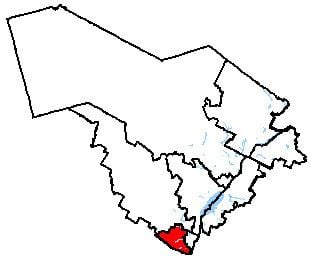
Map of Montcalm, QC, Canada
In the 2004 election, the Bloc Québécois won a larger percentage of the vote here than in any other riding with 71% of the vote; they would hold the seat until 2011, when they were defeated by the NDP.
Geography
The riding is located to the northeast of the Montreal region, in the Quebec region of Lanaudière. It consists of the Montcalm RCM, the city of Mascouche, and the districts of La Plaine and Lachenaie in the city of Terrebonne.
The neighbouring ridings are Joliette, Repentigny, La Pointe-de-l'Île, Honoré-Mercier, Alfred-Pellan, Terrebonne—Blainville, and Rivière-du-Nord.
History
Montcalm riding was created by the British North America Act in 1867. It was abolished in 1914 when it was merged into L'Assomption—Montcalm riding.
It was re-created in 2003 from parts of Berthier—Montcalm, Repentigny and Terrebonne—Blainville ridings.
This riding lost territory to Terrebonne and gained some territory from Repentigny during the 2012 electoral redistribution.
Members of Parliament
This riding has elected the following Members of Parliament:
1867–1917
Note: Mr. Thérien's share of the popular vote is compared to his share in the 1887 general election.
Note: change indicates Conservative vote compared to Conservative vote in 1882 general election.