
OS grid reference SU667309 Country England Post town Alresford Shire county Hampshire Civil parish Ropley | Region South East Sovereign state United Kingdom Postcode district SO24 0xx District East Hampshire | |
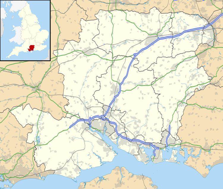 | ||
Monkwood is a loose scattering of houses in the East Hampshire district of Hampshire, England. It's spread between the unclassified Petersfield Road and Hill Farm Road, in the parish of Ropley (where the 2011 Census population was included).
Map of Monkwood, Alresford, UK
It is 6.8 miles (11.2 km) northwest of Petersfield, just off the A32 road.
The nearest national railway station is 6.5 miles (10.4 km) to the northeast, at Alton. The station at Petersfield is a similar distance to the Southeast.
The restored Ropley station on the Watercress Line, is 2.5 miles (4.1 km) to the west. There is not a timetabled service, but runs regular events.
References
Monkwood Wikipedia(Text) CC BY-SA