
Type henge, ritual pond Periods Neolithic Criteria i, iii, iv Province Leinster Period Neolithic | Part of Brú na Bóinne Type Cultural Local time Thursday 11:28 AM Region County Meath | |
 | ||
Location valley of the River Boyne Weather 11°C, Wind SW at 29 km/h, 80% Humidity | ||
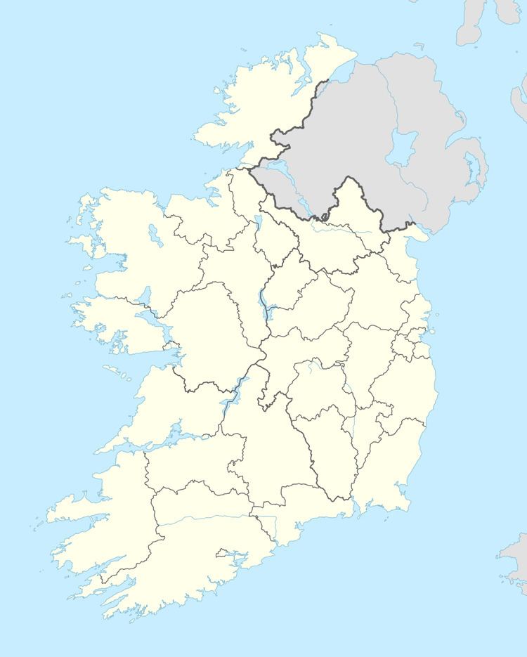
Monknewtown (Irish: Baile Nua na Manach, meaning "new town of the monks"), historically called Rathenskin, is a townland 3 km east of Slane in County Meath, Ireland. It stands on the Mattock River, which feeds several historic watermills nearby.
Map of Monknewtown, Co. Meath, Ireland
It also stands on the northern edge of the Neolithic monument complex and World Heritage Site of Brú na Bóinne which includes the famous site of Newgrange
Two Neolithic sites connected with Monknewtown are the nearby "ritual pond" and henge.
The pond probably dates to the later Neolithic, being a later addition to the complex, and consists of a 2 meter high earth bank that creates a 30-meter diameter enclosure that is filled with water.
The site may have played a preliminary or final role in prehistoric activities connected with the tombs and other ritual sites to the south.