
 | ||
Monkman Pass, 1061 m (3481 ft), is a mountain pass in the Canadian Rockies, located southwest of the coal-mining town of Tumbler Ridge, British Columbia. Located in the Hart Ranges, it is sometimes reckoned as the southern limit of the informal grouping known as the Northern Rockies, although those are sometimes reckoned as extending farther southeast to Mount Ovington and even to Mount Robson. Located on the Continental Divide, it is lower than the Yellowhead and Pine Passes. In 1937-39, a proposal to build a highway through the route led to a survey exploration, but the route was not completed. A highway access from other parts of British Columbia to the Peace Country was not made until much later, with the construction of the John Hart Highway through the Pine Pass; the route is now the Monkman Pass Historical Trail, built in 2006-07 and opened in 2008. The pass is at the head of the Murray River and south of the height of land at the head of the Parsnip River, and was discovered by accident by its namesake, Peace River Country fur trapper Alexander Monkman in 1922 who crossed it by sled and dogs.
Map of Monkman Pass, Peace River E, BC, Canada
This pass, 162 feet lower than the Yellowhead Pass, had been used as a route for Indian travel for some 300 years. "Mr. LeBreton Ross, the Department of Railways representative on the [Geographic Board of Canada] has this morning shown me a blueprint accompanying a report of Canadian Pacific and Canadian National railway engineers on railway connection with Peace river. A possible route is by this pass which crosses the divide at the head of Murray River, south of the height of land at the head of Parsnip river. The engineer's report states that the pass which is only 3,550 feet elevation was discovered by Alexander Monkman, a pioneer trader and trapper of the Peace River country, while on a trapping and hunting trip in the fall and winter of 1922 with pack dogs and on snowshoes. He ran into trappers who had come into the country with canoes by the Fraser ?River and was surprised to find he had crossed the continental divide without knowing it." (11 August 1925 letter from Ron Douglas, Secretary, Geographic Board of Canada, to G.G. Aitken, Chief Geographer of BC, file M.2.54)
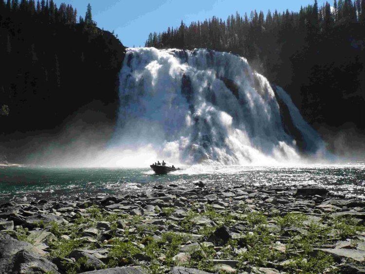
Monkman Pass and Monkman Falls are part of Monkman Provincial Park.