
Time zone IST (UTC+5:30) Website nagaland.gov.in | Vehicle registration NL Local time Thursday 2:11 PM | |
 | ||
Weather 22°C, Wind NW at 10 km/h, 46% Humidity | ||
Perched at an altitude of 3,106 ft above sea level, Mongsenyimti is an Ao village located in Mokokchung District of Nagaland, a state located in the far north-eastern part of India. The main source of livelihood is agriculture.
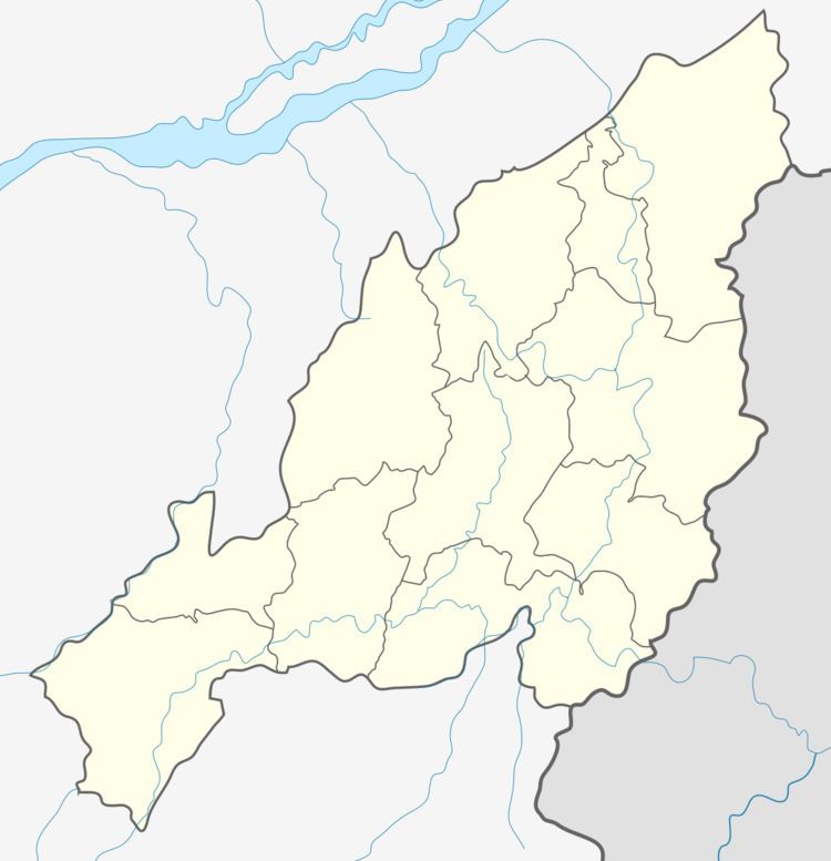
Map of Mongsenyimti, Nagaland 798614
The village has 50-60 families with community forests, clan forests, and jhum cultivation blocks. For subsistence, the villagers depend on 11 Jhum coupes to work on an 11-year rotation. The crops raised are rice, maize, chillies, gourd, cucumber, beans, sweet potato etc. Mongsenyimti village has two beautiful log drums.
The towns bounding Mongsenyimti are Khensa (15 km) in the west, Unger (7 km) in the north, Litim (12 km) in the east and Mokokchung (14 km) in the south. The village is linked by road to National Highway-61. Mongsenyimti can be reached from Jorhata (5 hour drive), which is connected to both Kolkata and Guwahati by air.