
Area code(s) 715 & 534 Elevation 245 m Local time Thursday 12:41 AM | Time zone Central (CST) (UTC-6) FIPS code 55-53600 Population 2,713 (2013) | |
 | ||
Weather -7°C, Wind S at 3 km/h, 66% Humidity Area 10.13 km² (9.894 km² Land / 23 ha Water) | ||
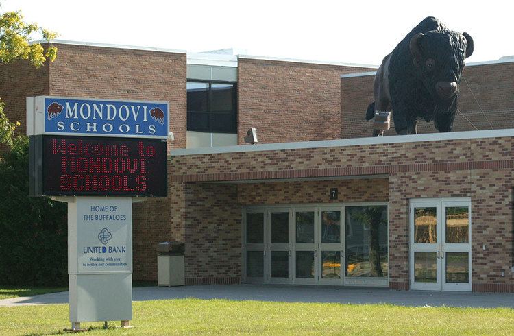
Mondovi is a city in Buffalo County in the U.S. state of Wisconsin, along the Buffalo River. The population was 2,777 at the 2010 census. The city is located mostly within the Town of Mondovi. A small portion lies within the Town of Naples.
Contents
- Map of Mondovi WI 54755 USA
- How to say or pronounce usa cities mondovi wisconsin
- History
- Geography
- 2010 census
- 2000 census
- References
Map of Mondovi, WI 54755, USA
How to say or pronounce usa cities mondovi wisconsin
History
A post office called Mondovi has been in operation since 1854. Mondovi was laid out in 1855. The city was named in commemoration of the Battle of Mondovì.
Geography
Mondovi is located at 44°34′7″N 91°40′10″W (44.568865, -91.669634).
According to the United States Census Bureau, the city has a total area of 3.91 square miles (10.13 km2), of which, 3.82 square miles (9.89 km2) is land and 0.09 square miles (0.23 km2) is water.
2010 census
As of the census of 2010, there were 2,777 people, 1,194 households, and 722 families residing in the city. The population density was 727.0 inhabitants per square mile (280.7/km2). There were 1,303 housing units at an average density of 341.1 per square mile (131.7/km2). The racial makeup of the city was 96.7% White, 0.6% African American, 0.6% Native American, 0.5% Asian, 0.2% from other races, and 1.4% from two or more races. Hispanic or Latino of any race were 1.4% of the population.
There were 1,194 households of which 32.1% had children under the age of 18 living with them, 42.6% were married couples living together, 13.8% had a female householder with no husband present, 4.0% had a male householder with no wife present, and 39.5% were non-families. 33.7% of all households were made up of individuals and 17.7% had someone living alone who was 65 years of age or older. The average household size was 2.26 and the average family size was 2.89.
The median age in the city was 39.9 years. 24.2% of residents were under the age of 18; 8.4% were between the ages of 18 and 24; 23.5% were from 25 to 44; 23.8% were from 45 to 64; and 20% were 65 years of age or older. The gender makeup of the city was 46.3% male and 53.7% female.
2000 census
As of the census of 2000, there were 2,634 people, 1,122 households, and 657 families residing in the city. The population density was 695.2 people per square mile (268.3/km²). There were 1,232 housing units at an average density of 325.2 per square mile (125.5/km²). The racial makeup of the city was 98.71% White, 0.19% Black or African American, 0.30% Native American, 0.27% Asian, and 0.53% from two or more races. 0.46% of the population were Hispanic or Latino of any race.
There were 1,122 households out of which 27.0% had children under the age of 18 living with them, 45.5% were married couples living together, 9.5% had a female householder with no husband present, and 41.4% were non-families. 36.7% of all households were made up of individuals and 21.5% had someone living alone who was 65 years of age or older. The average household size was 2.26 and the average family size was 2.96.
In the city, the population was spread out with 23.5% under the age of 18, 8.0% from 18 to 24, 24.8% from 25 to 44, 20.2% from 45 to 64, and 23.4% who were 65 years of age or older. The median age was 40 years. For every 100 females there were 85.5 males. For every 100 females age 18 and over, there were 80.5 males.
The median income for a household in the city was $31,000, and the median income for a family was $40,954. Males had a median income of $30,947 versus $21,434 for females. The per capita income for the city was $17,023. About 8.8% of families and 11.2% of the population were below the poverty line, including 14.4% of those under age 18 and 10.3% of those age 65 or over.