
Location Sulawesi, Indonesia Elevation 2,874 m Prominence 2,857 m First ascender James Brooke | Easiest route Long hike First ascent 1840 Province South Sulawesi | |
 | ||
Isolation 217 kilometres (135 mi) Listing Ultra-prominent peak, Ribu Similar Mount Rantekombola, Mount Rantemario, Mont Bawakaraeng, Buyu Balease, Gunung Bandahara | ||
Moncong Lompobatang is a mountain in Indonesia with an elevation of 2,874 m. Moncong Lompobatang is ranked 116th in the world by topographic prominence.
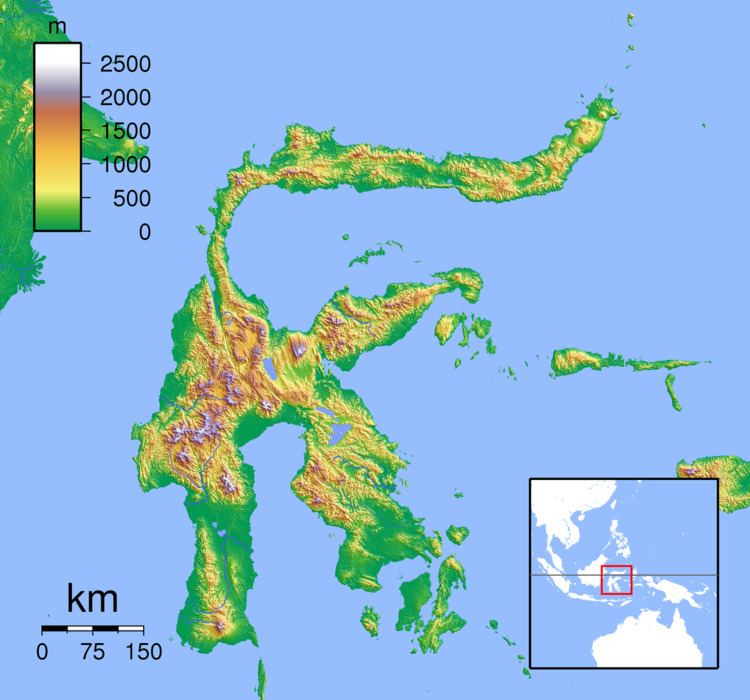
Map of Moncong Lompobatang, Rappolemba, Tompobulu, Gowa Regency, South Sulawesi, Indonesia
There is a small antenna compound at the summit of Moncong Lompobatang, along with a triangular pillar and a boulder with the names previous climbers written on it. One kilometre north of the summit lies a slightly lower sub-peak known as Puncak Kohbang / Ko’bang (2,870 m) which is the alleged site of the tomb of a King of Gowa. The two peaks, including the entire mountain and its surrounding area, are considered spiritually significant among local people.
References
Moncong Lompobatang Wikipedia(Text) CC BY-SA