
Population 2,715 (2006 census) LGA(s) Shire of Yarra Ranges Postal code 3793 | Postcode(s) 3793 Elevation 257 m | |
 | ||
Location 42 km (26 mi) from Melbourne7 km (4 mi) from Belgrave | ||
Monbulk is a town in Melbourne Metropolitan Region located 42 km east of Melbourne's central business district. Its local government area is the Shire of Yarra Ranges. At the 2006 Census, Monbulk had a population of 2715.
Contents
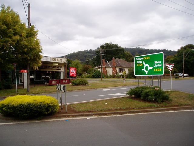
Map of Monbulk VIC 3793, Australia
History
The Aboriginal name, "Monbolloc" translates as 'hiding place in the hills'.
In 1893 a village settlement, Dandenong Forest Village Settlement, of 76 farms of 10-acre (40,000 m2) was created. The Post Office opened on 19 May 1898.
The area was well known for being the site of Monbulk Preserves Ltd founded by the Camm family, now owned by Cadbury, a jam factory, where Monbulk Jam was produced from locally grown fruit. The site is now owned by Garden City Plastics who produce recycled plastic plant pots.
The town today
Today Monbulk is a township with farms growing fruit, nursery plants and a substantial bulb and cut-flower industry for national and international markets. There are four schools, Monbulk Primary School (established in 1897), St Paul’s Catholic Primary School, Monbulk College and Mountain District Christian School.