
Country India District Mon Vehicle registration NL Elevation 655 m Population 16,119 (2001) | State Nagaland Time zone IST (UTC+5:30) Website nagaland.gov.in Local time Thursday 7:41 AM | |
 | ||
Weather 17°C, Wind N at 2 km/h, 66% Humidity | ||
Mon (Pron:/mɒn/) is a town and a town area committee in Mon district in the Indian state of Nagaland. This district (Mon) is also known for Headhunting as it was practised in historic times. Now a denoted name is given as "Land of Anghs" (Which means land ruled by Kings)
Contents
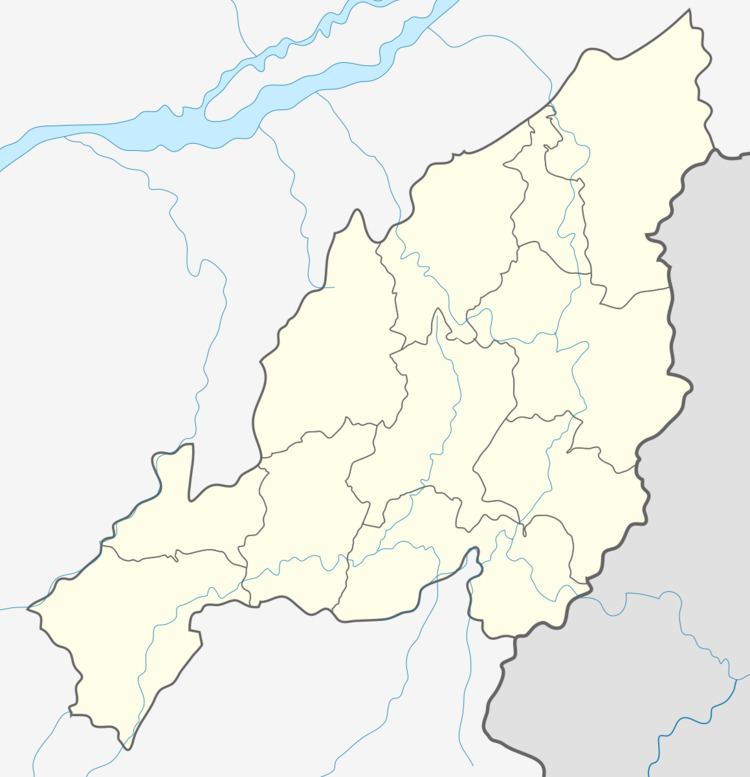
Map of Mon Village, Nagaland 798621
Geography
Mon is located at 26.75°N 95.1°E / 26.75; 95.1. It has an average elevation of 655 metres (2,148 feet).
It is situated at an altitude of 2,945 ft (898 m) above sea level. It is at a distance of 357 km from Kohima via Dimapur and 280 km from Dimapur, 275 km from Kohima via Mokokchung, Tamlu and Wakching. Home of the Konyaks, the town was established at the land of Chen and Mon villages. It is centrally located for the coronation of Anghs (chiefs).
Demographics
As of 2011 India census, Mon had a population of 16,590 with 9,138 males and 7,452 females. Mon has an average literacy rate of 71%, higher than the national average of 76%: male literacy is 75%, and female literacy is 66%. In Mon, 17% of the population is under 6 years of age.
The Konyaks and the Aos are the two tribes that constitute almost the entire urban population of present day Mon town.