
Elderships 11 Area 1,368 km² | Area rank 22nd Area code 383 | |
 | ||
Points of interest Lithuanian Museum of Ethnocosmology, Dubingių piliavietė, Jurkiškio upelio pažintinis, Etnografinė sodyba ir dangaus, Dubingiu krasto muziejus | ||
The Molėtai District Municipality is one of 60 municipalities in Lithuania.
Map of Mol%C4%97tai District Municipality, Lithuania
Molėtai is known for its many lakes. There are about 220 lakes in the district and they cover about 7% of the total territory. Since it is only about 60 km north of Vilnius, many Vilnians own summer homes there. The area offers many recreational opportunities. It is easy to reach Molėtai because there is a highway connecting Vilnius and Utena which divides the district into two almost equal parts. Since there is little industry, the district is proud of its lack of pollution. The land is not very fertile, therefore the district's government is focused on developing tourism.
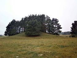
Another natural resource of the district are its forests which cover about 26.6% of its territory.