
PO box 1766 | Postal code (street) 1759 Local time Wednesday 7:15 PM | |
 | ||
Weather 19°C, Wind N at 13 km/h, 57% Humidity Municipality | ||
Mohlakeng is a township west of Johannesburg in Gauteng, South Africa. A local authority was established in 1984. Mohlakeng is where the large part of the Randfontein population is situated. It lies 7 kilometres south of Randfontein, and around 38 kilometres West of Johannesburg. Mohlakeng has now grown about 15% in size in 2012 as compared to 2002. The former Executive Mayor of The West Rand District Municipality hails from Mohlakeng. Other well-known people that come from Mohlakeng include:
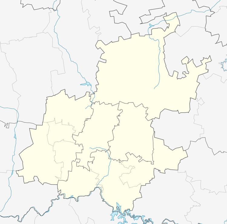
Map of Mohlakeng, Randfontein, 1766, South Africa
Terror Mathebula, the first African World WBA Light-Weight Boxing Champion, Oupa Manyisa, Donald Khuse, the late footballer Patrick Ntsoelengoe and Roger Majafa amongst others.
There are four high schools and eight primary schools in Mohlakeng. The community is served with a Post Office, Police Station, Mohlakeng Medical Centre, a refurbished Ramosa Hall, an all-purpose sports stadium and a Recreation Centre. Mohlakeng is surrounded by Soweto in the East, Randfontein in the North and Westonaria in the South. Mohlakeng is accessible by the R28 Main Reef Road and the R559 Main Road.
Mohlakeng is home to some of the most popular nightlife spots. 649 Pub and Grill, situated on Nandi Street is among these.