
- right Bear Creek (Victoria) - location north of Moe Mouth Latrobe River | - elevation 174 m (571 ft) - elevation 76 m (249 ft) | |
 | ||
- location near Ellinbank, south of Warragul | ||
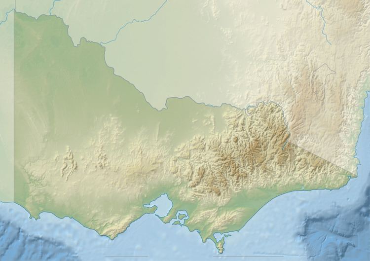
The Moe River is a perennial river of the West Gippsland catchment, located in the West Gippsland region of the Australian state of Victoria.
Location and features
The Moe River rises near Ellinbank, south of Warragul, and flows generally east by north, joined by on minor tributary, before reaching its confluence with the Latrobe River, north of Moe, upriver of Lake Narracan, within the Shire of Baw Baw. Much of the course of the Moe River is diverted via a drain, north of Yarragon to the Moe Sewerage Authority Settling Pond. The river descends 98 metres (322 ft) over its 18-kilometre (11 mi) course.
The river is traversed by the Princes Highway between Yarragon and Darnum.
References
Moe River Wikipedia(Text) CC BY-SA