
Country Russia/Ukraine Municipality Sudak Municipality Elevation 198 m (650 ft) Area 60 ha | Republic Crimea First mentioned 1381 Time zone MSK (UTC+4) Population 519 (2014) | |
 | ||
Weather 3°C, Wind N at 10 km/h, 96% Humidity | ||
Mizhrichia (Ukrainian: Міжріччя; Russian: Междуречье; literally, between the rivers) is a village in the Sudak Municipality of the Autonomous Republic of Crimea, a territory recognized by a majority of countries as part of Ukraine and annexed by Russia as the Republic of Crimea.
Contents
Map of Mizhrichchya
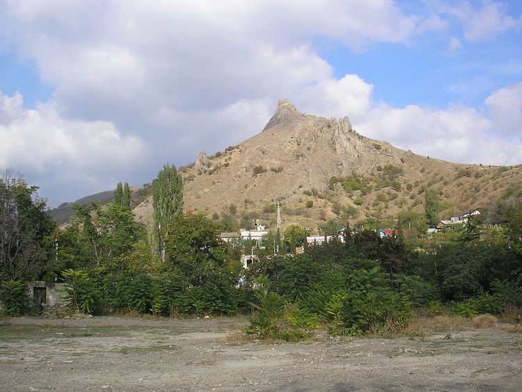
Mizhrichia is located on Crimea's southern shore in the Crimean Mountains at an elevation of 198 m (650 ft). Its population was 510 in the 2001 Ukrainian census. Current population: 519 (2014 Census).
History
Previously, the settlement was known as the Ai-Serez village (Crimean Tatar: Ay Serez). Following the forced deporation of the Crimean Tatars in 1944, the Presidium of the Supreme Soviet of the Russian SFSR published a decree on May 18, 1948 renaming the settlement along with many others throughout Crimea from their native Crimean Tatar names to their current variants.
In 1886, the village of Ai-Serez was located in the Taraktash Volost of the Feodosia Povit of the Taurida Governorate. At that time, the settlement had a population of 655 inhabitants; it had two mosques located in its settlement. In the 1897 Russian Empire census, the population increased to 1,464 inhabitants, 1,458 of which belonged to the Muslim faith.