
Country United States GNIS feature ID 0452421 Area 184.9 km² Population 624 (2010) | ZIP codes 47446, 47470, 47581 Elevation 244 m Local time Tuesday 2:47 PM | |
 | ||
Weather 1°C, Wind N at 14 km/h, 43% Humidity | ||
Mitcheltree Township is one of six townships in Martin County, Indiana, United States. As of the 2010 census, its population was 624 and it contained 357 housing units.
Contents
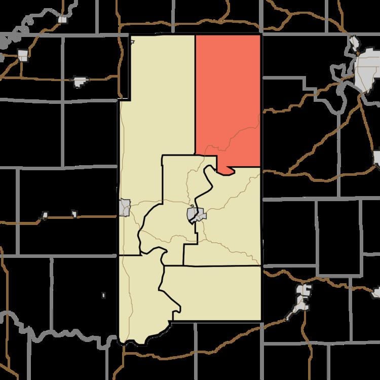
- Map of Mitcheltree Township IN USA
- Geography
- Unincorporated towns
- Cemeteries
- School districts
- Political districts
- References
Map of Mitcheltree Township, IN, USA
Geography
According to the 2010 census, the township has a total area of 71.39 square miles (184.9 km2), of which 70.76 square miles (183.3 km2) (or 99.12%) is land and 0.63 square miles (1.6 km2) (or 0.88%) is water.
Unincorporated towns
(This list is based on USGS data and may include former settlements.)
Cemeteries
The township contains these fifteen cemeteries: Bridges, Bridges, Brock, Chandler, Clarke, Dogtrot, Jackson, Little Hickory Ridge, Mountain Spring, Pleasant Grove, Rector, Roberts, Uno-Paton, Wagner and Wards.
School districts
Political districts
References
Mitcheltree Township, Martin County, Indiana Wikipedia(Text) CC BY-SA