
Elevation 700 m | ||
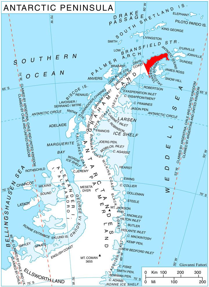 | ||
Misty Pass (63°29′S 57°59′W) is a pass, 700 metres (2,300 ft) high, between the head of Broad Valley and Ogoya Glacier descending north to Bransfield Strait, situated 8 nautical miles (15 km) southeast of Cape Ducorps on Trinity Peninsula, Antarctica. It was mapped by the Falkland Islands Dependencies Survey in 1946, and so named because clouds pouring east through the pass had been noted by the survey party to herald bad weather.
Map
References
Misty Pass Wikipedia(Text) CC BY-SA