
Country United States ZIP codes 57557 Elevation 605 m | Time zone Central (CST) (UTC-6) GNIS feature ID 1266866 Local time Tuesday 6:32 AM | |
 | ||
Weather -9°C, Wind SE at 24 km/h, 86% Humidity | ||
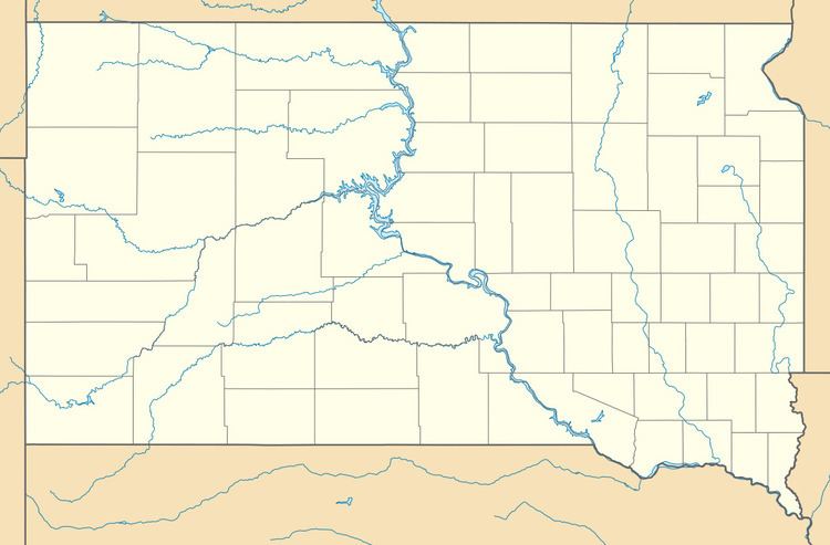
Mission Ridge is an unincorporated community in northern Stanley County, South Dakota, United States. It lies along Highway 1806 north of the city of Fort Pierre, the county seat of Stanley County. Its elevation is 1,985 feet (605 m). Mission Ridge has a post office with the ZIP code of 57557.
Map of Mission Ridge, SD 57532, USA
The community was named for the elevated town site near Mission Creek.
References
Mission Ridge, South Dakota Wikipedia(Text) CC BY-SA