 | ||
Weather 21°C, Wind NW at 8 km/h, 89% Humidity | ||
Espinoza paz misantla city
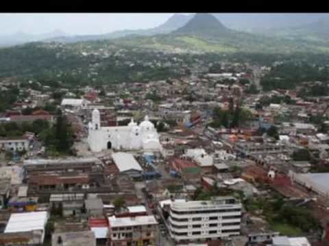
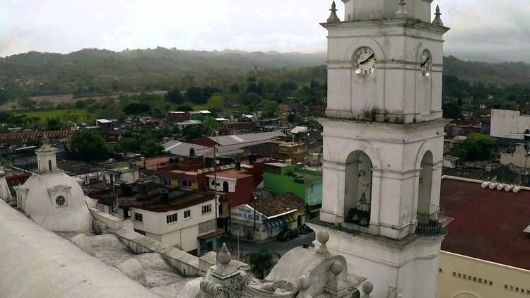
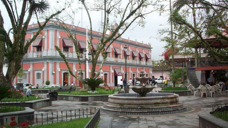
Misantla is a city in the Mexican state of Veracruz, the administrative seats of the municipality (municipio) of the same name. The municipality is bordered by Martínez de la Torre, Colipa and Papantla.
Travelwise, Misantla is about 35 km (22 mi) from the beaches of the Gulf of Mexico, however, the roads to the Coast are not reliable. Misantla is located two hours North of Xalapa (the capital of the state) on Veracruz State Highway 65, a most scenic mountain route, well-paved. Federal Highways 180 and 129 are on either side of it. Misantla has Pre-Columbian pyramid, located N.W. of town.
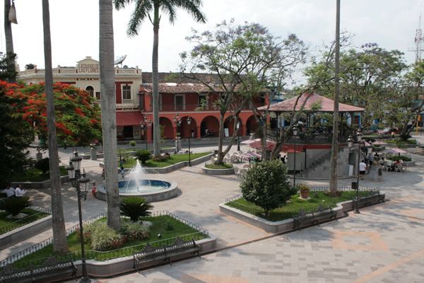
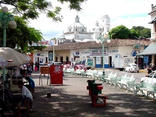
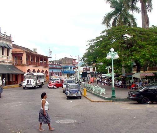
It is the municipal seat of several different communities such as Morelos, Guerrero, el Pozón, Buenos Aires, Arroyo Hondo, etc. In the local Native American Totonac language it means "place of the Deer", although there are no longer deer in the wild. Misantla is over 450 years old, it was founded by the Spanish conquistadors and the Native population. Weather in Misantla is very hot and humid. The main crops are coffee beans, oranges and corn. Misantla is not only an agricultural community but also people raise cattle for a living. In the city, vendors invaded the pretty streets with street commerce, thus street commerce is another very common activity.
Misantla is also known as La Tierra del Cachichin ("land of Cachichin"). Cachichin is a very sour, unpleasant nut which used to be abundant; nowadays, however, the nut is steadily disappearing.