
Elevation 655 m | Time zone PST (UTC+5) Local time Tuesday 1:24 AM | |
 | ||
Weather 13°C, Wind NW at 8 km/h, 53% Humidity Province Federally Administered Tribal Areas | ||
Mir Ali is a town of North Waziristan in the Federally Administered Tribal Areas Adjusting with Bannu of Pakistan. It is located at 32°59'4N 70°15'24E with an altitude of 655 metres (2152 feet) and lies close to the border with Afghanistan. In October 2007, a battle killed 175 near the town.
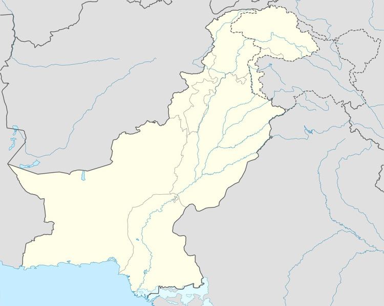
Map of Mir Ali Mirali, Pakistan
The residents of Mir Ali are Dawar and Utman Zai Wazir tribals. Wazirs reside in mountainous areas of NWA such as Spin Waaam, Shawa and Khiasur while Dawars reside in plane areas on both sides of the river Tochi. Some well known villages of Dawars in Mir Ali area are Hassu Khel, Haider Khel, Mussaki, Idaak, Khaddi, Hurmaz, Zeraki, Hakim Khel etc.
Abu Yahya al-Libi, the number two at the time of Al-Qaeda, was killed by a drone strike carried out by United States on June 4, 2012 in Mir Ali.