
Local time Monday 8:49 PM | Population (approx.) 100 | |
 | ||
Weather 1°C, Wind N at 3 km/h, 86% Humidity Voivodeship Warmian-Masurian Voivodeship | ||
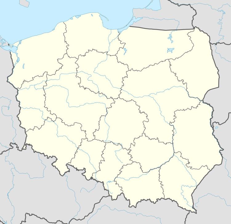
Miodówko [mjɔˈdufkɔ] (German: Honigswalde; before 1908: Mniodowko) is a village in the administrative district of Gmina Stawiguda, within Olsztyn County, Warmian-Masurian Voivodeship, in northern Poland. It lies approximately 2 kilometres (1 mi) south-west of Stawiguda and 17 km (11 mi) south-west of the regional capital Olsztyn.
Map of Miod%C3%B3wko, Poland
While traditionally Prussian, with the Second Peace of Thorn in 1466 the area became part of the Kingdom of Poland until 1772; 1772-1945 Kingdom of Prussia and Germany (East Prussia).
The village has an approximate population of 100.
References
Miodówko Wikipedia(Text) CC BY-SA