
Population 322 Local time Monday 4:27 PM | OS grid reference NT5668020171 Sovereign state United Kingdom Postcode district TD9 8SG Dialling code 01450 | |
 | ||
Weather 11°C, Wind SW at 23 km/h, 66% Humidity Lieutenancy areas | ||
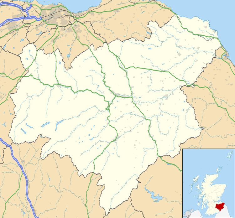
Minto is a village and parish in the Scottish Borders area of Scotland, as well as the historic county of Roxburghshire. It is located 6 miles north-east of Hawick, north of the River Teviot.
Map of Minto, Hawick, UK
The parish is bounded on the west by the former parish of Wilton (united with Hawick in 1895 ), on the north by Lilliesleaf, on the east by Ancrum and on the south by the parish of Cavers, whose boundary partially follows the River Teviot, and the village of Denholm within that parish.). Fatlips Castle and Hassendean are within the parish.
Minto village is a Conservation Area as designated by Scottish Borders Council. Minto House, the former seat of the Earl of Minto, is nearby and the village is a planned village which was designed and laid out by William Playfair for the 2nd Earl of Minto within his estate. It occupies an elevated ridge overlooking the River Teviot and lies in a dip below Minto Hill (height 905 ft)
Minto Church, built in 1831 by William Playfair, is a Gothic revival church with a large striking three stage tower. The interior was renovated in 1934, but the building is externally little changed.
Minto War Memorial is a listed building situated near the church in the centre of Minto. It was created in 1925 by Thomas J Clapperton, the internationally renowned locally born sculptor, and is a bronze statue of a First World War soldier in helmet and greatcoat, standing on guard with bayonet.
In 1992 Minto House was listed as Category A, and largely demolished within weeks.
The parish originally covered the same area as the barony of Minto, which was first mentioned in the 14th century, when it was in possession of the powerful Turnbull family. It was later sold to Sir Gilbert Elliot (c. 1650–1718), the ancestor of the Earls of Minto, who was subsequently made a Baronet by King William in 1700.
Hassendean, the valley of Hassendean Burn, lies in the western part of the parish and was formerly a parish itself, until shortly after the reformation. The use of its church was suppressed in 1690 and the building became gradually dilapidated, being next to the banks of the Teviot. Its churchyard continued in use until 1796, when it was swept away by a flood.
Minto comes within the area of Denholm and District Community Council, whose area north of the Teviot is roughly the same area as Minto civil parish, except for the Appletreehall area in the west. (Appletreehall is a hamlet of Wilton parish.).
The civil parish has an area of 5,601 acres and a population of 322 (in 2011). The population of Minto village was reckoned at 58 from the 2001 Census.