
3-digit postal code prefix 702 Local time Monday 12:54 PM | Time zone WAT (UTC+1) Area 416 km² | |
 | ||
Weather 33°C, Wind E at 13 km/h, 7% Humidity | ||
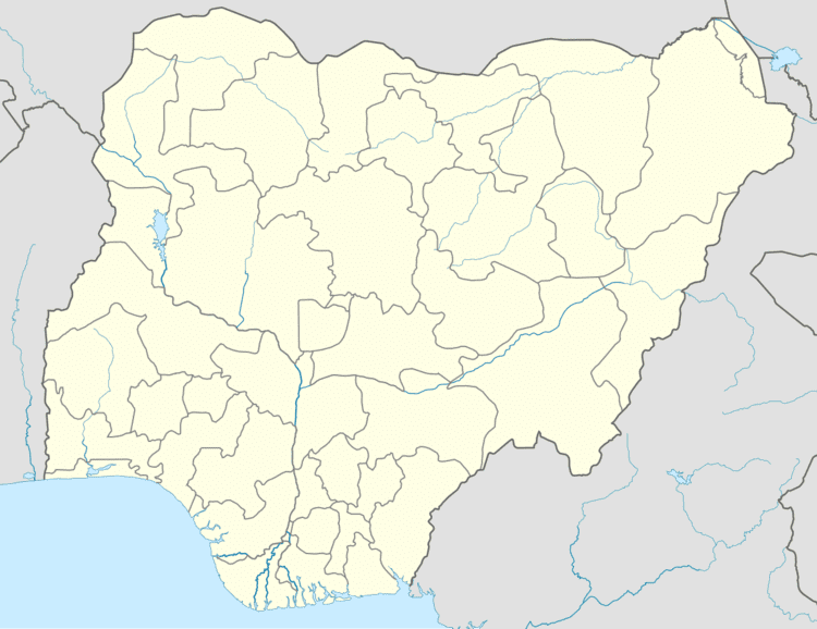
Minjibir is a Local Government Area in Kano State, Nigeria. Its headquarters are in the town of Minjibir, about 20 km northeast of the state capital Kano.
Map of Minjibir, Nigeria
It has an area of 416 km² and a population of 213,794 at the 2006 census.
The postal code of the area is 702.
References
Minjibir Wikipedia(Text) CC BY-SA