
Country United States County Centre Time zone Eastern (EST) (UTC-5) Elevation 316 m Zip code 16856 Population 503 (2010) | State Pennsylvania FIPS code 42-50104 Area 4.74 km² Local time Sunday 9:30 PM | |
 | ||
Weather -5°C, Wind NW at 14 km/h, 52% Humidity | ||
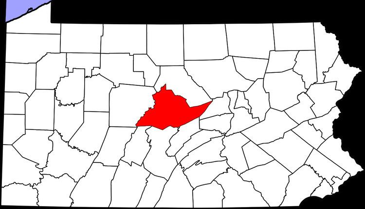
Mingoville is an unincorporated community and census-designated place (CDP) in Walker Township, Centre County, Pennsylvania, United States. As of the 2010 census, the population was 503 residents.
Map of Mingoville, Zion, PA 16823, USA
Mingoville is located in eastern Centre County, west of the center of Walker Township, in the Nittany Valley between Nittany Mountain to the southeast and Sand Ridge to the northwest. It is 3 miles (5 km) southwest of the community of Hublersburg and 2 miles (3 km) northeast of Zion, along Pennsylvania Route 64. State College is 15 miles (24 km) to the southwest.
References
Mingoville, Pennsylvania Wikipedia(Text) CC BY-SA