
Country United States FIPS code 29-48656 Elevation 95 m Zip code 63801 Local time Sunday 7:07 PM | Time zone Central (CST) (UTC-6) GNIS feature ID 0731619 Area 11.81 km² Population 976 (2013) Area code 573 | |
 | ||
Weather 6°C, Wind E at 5 km/h, 44% Humidity | ||
Miner is a city in Mississippi and Scott counties in the U.S. state of Missouri. It borders the city of Sikeston to the east. The population was 984 at the 2010 census.
Contents
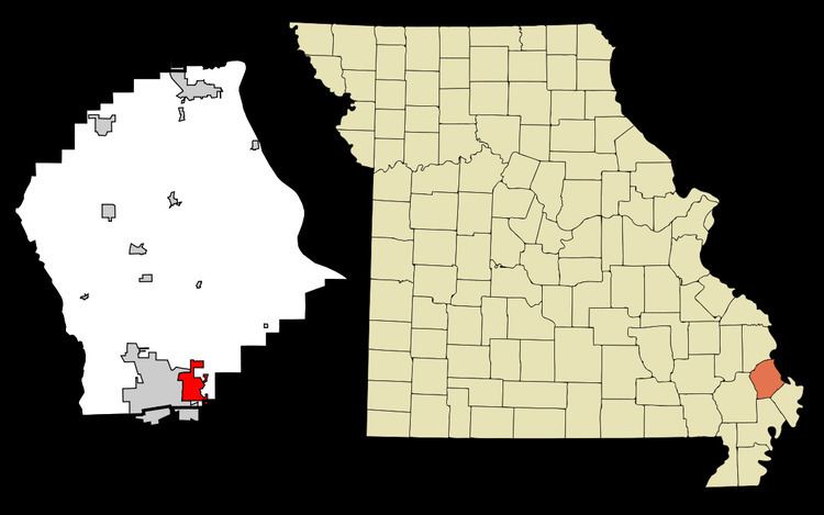
Map of Miner, MO 63801, USA
The community has the name of one Mr. Miner (or Minner), the proprietor of a local sawmill.
Geography
Miner is located at 36°53′31″N 89°32′9″W (36.892082, -89.535861).
According to the United States Census Bureau, the city has a total area of 4.56 square miles (11.81 km2), all of it land.
Miner is located at the southern end of Interstate 57 (I-57).
2010 census
As of the census of 2010, there were 984 people, 389 households, and 259 families residing in the city. The population density was 215.8 inhabitants per square mile (83.3/km2). There were 429 housing units at an average density of 94.1 per square mile (36.3/km2). The racial makeup of the city was 92.28% White, 3.15% Black or African American, 0.20% Native American, 0.61% Asian, 1.73% from other races, and 2.03% from two or more races. Hispanic or Latino of any race were 4.37% of the population.
There were 389 households of which 32.4% had children under the age of 18 living with them, 51.4% were married couples living together, 10.8% had a female householder with no husband present, 4.4% had a male householder with no wife present, and 33.4% were non-families. 29.6% of all households were made up of individuals and 13.4% had someone living alone who was 65 years of age or older. The average household size was 2.42 and the average family size was 2.99.
The median age in the city was 41.9 years. 23.7% of residents were under the age of 18; 5.9% were between the ages of 18 and 24; 23.6% were from 25 to 44; 28.8% were from 45 to 64; and 18% were 65 years of age or older. The gender makeup of the city was 46.6% male and 53.4% female.
2000 census
As of the census of 2000, there were 1,056 people, 408 households, and 290 families residing in the city. The population density was 257.5 people per square mile (99.4/km²). There were 442 housing units at an average density of 107.8 per square mile (41.6/km²). The racial makeup of the city was 92.90% White, 2.18% African American, 0.57% Native American, 0.95% Asian, 0.28% Pacific Islander, 1.14% from other races, and 1.99% from two or more races. Hispanic or Latino of any race were 2.27% of the population.
There were 408 households out of which 31.9% had children under the age of 18 living with them, 57.4% were married couples living together, 9.6% had a female householder with no husband present, and 28.7% were non-families. 25.2% of all households were made up of individuals and 12.3% had someone living alone who was 65 years of age or older. The average household size was 2.48 and the average family size was 2.92.
In the city the population was spread out with 24.0% under the age of 18, 8.0% from 18 to 24, 26.7% from 25 to 44, 26.0% from 45 to 64, and 15.2% who were 65 years of age or older. The median age was 38 years. For every 100 females there were 92.0 males. For every 100 females age 18 and over, there were 89.4 males.
The median income for a household in the city was $30,750, and the median income for a family was $35,132. Males had a median income of $28,611 versus $18,487 for females. The per capita income for the city was $17,409. About 16.3% of families and 18.6% of the population were below the poverty line, including 21.7% of those under age 18 and 29.2% of those age 65 or over.