
Population 1,093 (2011 census) LGA(s) Somerset Region Minden Marburg Local time Monday 9:15 AM | Postcode(s) 4311 State electorate(s) Ipswich West Postal code 4311 | |
 | ||
Location 64 km (40 mi) W of Brisbane
29 km (18 mi) WNW of Ipswich
7 km (4 mi) W of Marburg Weather 22°C, Wind N at 13 km/h, 83% Humidity Federal divisions Division of Blair, Division of Dickson | ||
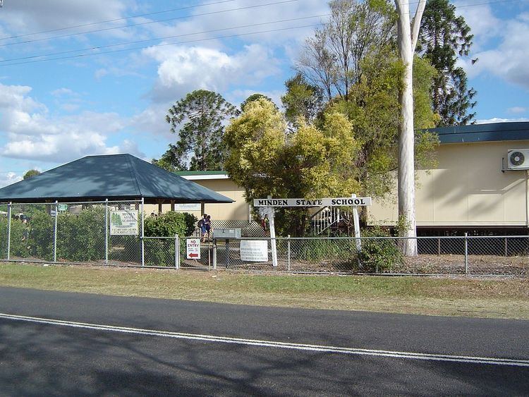
Minden is a small town and rural locality in the Somerset Region, Queensland, Australia. The town is 64 kilometres (40 mi) west of the state capital, Brisbane. At the 2011 census, Minden had a population of 1,093.
Contents
Map of Minden QLD 4311, Australia
History
Originally the area was known as Back Plains or Rosewood Scrub but was changed to Minden in 1879 at the request of German settlers, after the town of Minden in Westphalia, Germany. In 1916 during World War I, the name was changed to Frenchton due to anti-German sentiment, but name Minden was restored in 1930.
Frenchton Post Office opened on 1 July 1927 (a receiving office had been open from 1878, known as Rosewood Scrub until 1879 and Minden until 1916 during World War I), reverted to Minden in 1930 and closed in 1971.
Geography
Minden is located in the Lockyer Valley at the northern foothills of the Little Liverpool Range. The Warrego Highway passes through Minden from east to west. It is the most southerly part of the Somerset Region local government area.