
Country United States FIPS code 20-46900 Elevation 443 m Local time Wednesday 7:26 PM Area code 620 | State Kansas Time zone CST (UTC-06:00) GNIS feature ID 477790 Area 77.7 km² Population 310 (2010) | |
 | ||
Weather 12°C, Wind SE at 21 km/h, 45% Humidity | ||
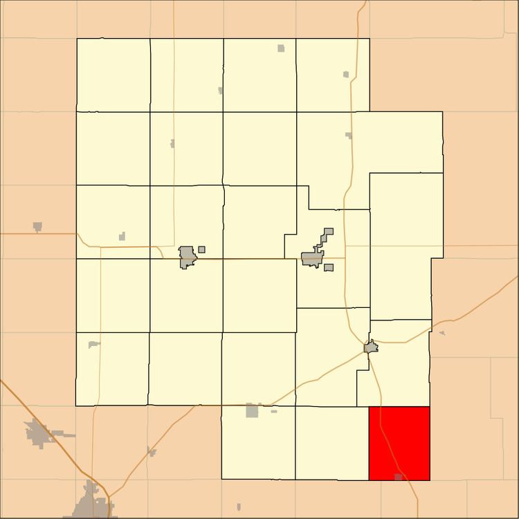
Milton Township is a township in Marion County, Kansas, United States. As of the 2010 census, the township population was 310, including the city of Burns.
Contents
Map of Milton, KS, USA
Geography
Milton Township covers an area of 36 square miles (93.2 km2).
Cities and towns
The township contains the following settlements:
Cemeteries
The township contains the following cemeteries:
Transportation
U.S. Route 77 highway passes northwest to southeast through the township, and follows roughly parallel to the old railway.
References
Milton Township, Marion County, Kansas Wikipedia(Text) CC BY-SA